
1923 Map of Rockville
USGS Topo · Published 1923About this map
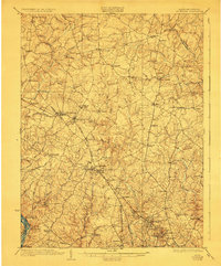
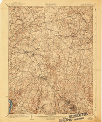
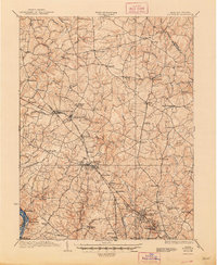
Rockville and its surrounding Maryland countryside are defined by a transit-oriented landscape in the early twentieth century. The Baltimore and Ohio Railroad cuts diagonally across the terrain, anchoring established towns like Gaithersburg and the planned camp-meeting settlement at Washington Grove. To the south, the Washington and Rockville Electric Railway provides a critical link toward the nation's capital, while the Chesapeake and Ohio Canal traces the path of the Potomac River along the southwestern corner.
Find a feature on this map
71 named features on this map. Tap any name to fly to it.
Don’t see what you’re looking for? This feature index may not catch every label — zoom into the map to look around manually.
Map Details
Editions of this 1923 Rockville Map
4 editions found
Other maps of this area

1890 · Mt. Vernon
USGS Topo · 1:125,000

1891 · Mt. Vernon
USGS Topo · 1:125,000

1892 · Laurel
USGS Topo · 1:62,500

1892 · Ellicott
USGS Topo · 1:62,500

1893 · Frederick
USGS Topo · 1:125,000

1894 · Ellicott
USGS Topo · 1:62,500

1894 · Laurel
USGS Topo · 1:62,500

1894 · Frederick
USGS Topo · 1:125,000

1894 · Mt. Vernon
USGS Topo · 1:125,000

1897 · Laurel
USGS Topo · 1:62,500