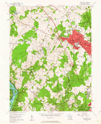
1956 Map of Rockville
USGS Topo · Published 1963About this map
The Baltimore and Ohio RR corridor defines the mid-century development of this Montgomery County landscape, where the growing town of Rockville is surrounded by established rural communities and emerging suburbs. To the south, the Potomac River provides a stark contrast with its collection of named islands like Bealls Island and the historic path of the Chesapeake and Ohio Canal. This era captures a mix of the old agricultural order and the new infrastructure of the jet age, evidenced by the presence of the Congressional Airport and numerous radio facilities such as the Radio Towers (WINX).
Find a feature on this map
110 named features on this map. Tap any name to fly to it.
Don’t see what you’re looking for? This feature index may not catch every label — zoom into the map to look around manually.
Map Details
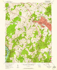
Editions of this 1956 Rockville Map
2 editions found
Other maps of this area

1890 · Mt. Vernon
USGS Topo · 1:125,000

1891 · Mt. Vernon
USGS Topo · 1:125,000

1893 · Frederick
USGS Topo · 1:125,000

1894 · Frederick
USGS Topo · 1:125,000

1894 · Mt. Vernon
USGS Topo · 1:125,000

1897 · Mt. Vernon
USGS Topo · 1:125,000

1900 · Washington
USGS Topo · 1:62,500

1908 · Rockville
USGS Topo · 1:62,500

1908 · Seneca
USGS Topo · 1:62,500

1915 · Fairfax
USGS Topo · 1:62,500