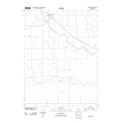
2011 Map of Rockville
USGS Topo · Published 2011About this map
The confluence of the Middle Loup River and South Loup River basins defines the agricultural landscape around the town of Rockville, Nebraska. This 2011 survey illustrates the rural character of Sherman County, where the local economy and settlement patterns are dictated by the waterways and a grid of secondary roads such as Sodtown Rd and Pawnee Rd. The town itself serves as the primary hub, anchored by the Rockville Post Office and connected via the aptly named Railroad Ave, reflecting the historical importance of the rail corridor in transporting grain from the surrounding plains.
Find a feature on this map
19 named features on this map. Tap any name to fly to it.
Don’t see what you’re looking for? This feature index may not catch every label — zoom into the map to look around manually.
Map Details
Editions of this 2011 Rockville Map
This is the sole edition of this map. No revisions or reprints were ever made.
Other maps of this area

1895 · Wood River
USGS Topo · 1:62,500

1896 · Wood River
USGS Topo · 1:125,000

1899 · Loup
USGS Topo · 1:125,000

1953 · Rockville
USGS Topo · 1:24,000

1953 · Boelus
USGS Topo · 1:24,000

1953 · Ravenna NW
USGS Topo · 1:24,000

1953 · Farwell
USGS Topo · 1:24,000

1953 · Ashton
USGS Topo · 1:24,000

1953 · Ravenna
USGS Topo · 1:24,000

1955 · Broken Bow
USGS Topo · 1:250,000