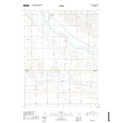
2017 Map of Rockville
USGS Topo · Published 2017About this map
Middle Loup River and the South Loup River converge in this central Nebraska landscape, creating a broad alluvial valley that defines the local geography. The village of Rockville sits at the northern edge of the sheet, where Railroad Ave and Rock Cr meet the river's path. Further south across the Sherman and Buffalo County line, the northern outskirts of Ravenna become visible. This area is characterized by a grid-like road network, such as 340th Rd and Pawnee Rd, which provides access to the agricultural uplands between the river forks. For those researching local heritage, the map identifies small, significant sites including the Hayestown Cem near the riverbanks and Soulville Cem to the east, along with Noble Field located between the river systems.
Find a feature on this map
41 named features on this map. Tap any name to fly to it.
Don’t see what you’re looking for? This feature index may not catch every label — zoom into the map to look around manually.
Map Details
Editions of this 2017 Rockville Map
This is the sole edition of this map. No revisions or reprints were ever made.
Other maps of this area

1895 · Wood River
USGS Topo · 1:62,500

1896 · Wood River
USGS Topo · 1:125,000

1899 · Loup
USGS Topo · 1:125,000

1953 · Rockville
USGS Topo · 1:24,000

1953 · Boelus
USGS Topo · 1:24,000

1953 · Ravenna NW
USGS Topo · 1:24,000

1953 · Farwell
USGS Topo · 1:24,000

1953 · Ashton
USGS Topo · 1:24,000

1953 · Ravenna
USGS Topo · 1:24,000

1955 · Broken Bow
USGS Topo · 1:250,000