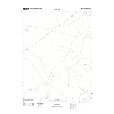
2010 Map of Rocky Knoll
USGS Topo · Published 2010About this map
Sevier River hydraulics dominate this high-desert landscape in Millard County, where the modern river course winds alongside the visible remnants of the Old Channel Sevier River. The intricate water management system is evidenced by numerous catchments including Hardpan Reservoir, Tamarack Reservoir, and Sevier Lake Reservoir Number 4, illustrating the region's reliance on irrigation and seasonal runoff. The topography is largely defined by the Old River Bed to the northeast and the intermittent drainage of Soap Wash, which cuts across the central flats. Human presence is concentrated along a sparse grid of rural roads such as S 18000 W and Squire Ln, providing access to the namesake Rocky Knoll and the nearby Rocky Knoll Springs. This 2010 survey documents the intersection of natural hydrology and man-made reservoirs in a remote section of the Sevier Desert.
Find a feature on this map
16 named features on this map. Tap any name to fly to it.
Don’t see what you’re looking for? This feature index may not catch every label — zoom into the map to look around manually.
Map Details
Editions of this 2010 Rocky Knoll Map
This is the sole edition of this map. No revisions or reprints were ever made.
Other maps of this area

1885 · Sevier Desert
USGS Topo · 1:250,000

1908 · Fish Springs
USGS Topo · 1:250,000

1910 · Fish Springs
USGS Topo · 1:250,000

1953 · Delta
USGS Topo · 1:250,000

1958 · Delta
USGS Topo · 1:250,000

1962 · Delta
USGS Topo · 1:250,000

1971 · Red Pass
USGS Topo · 1:24,000

1971 · Clay Knoll
USGS Topo · 1:24,000

1971 · Rocky Knoll
USGS Topo · 1:24,000

1971 · Neels
USGS Topo · 1:24,000