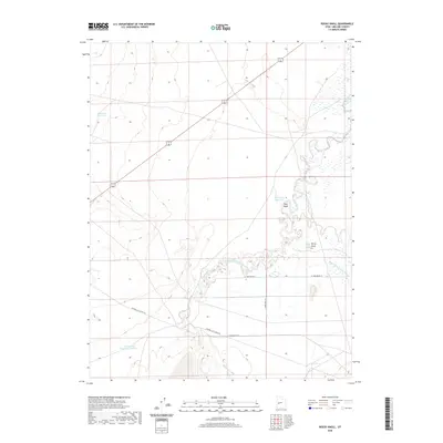
2020 Map of Rocky Knoll
USGS Topo · Published 2020About this map
The Sevier River meanders through the arid floor of Millard County, creating a complex network of active and former watercourses. This landscape is defined by the Old Channel Sevier River, which branches away from the primary flow, tracing the historic movement of water across this high desert basin. Managed water resources are central to the area's utility, evidenced by several catchments including Tamarack Reservoir, Hardpan Reservoir, and Sevier Lake Reservoir Number 4.
Find a feature on this map
12 named features on this map. Tap any name to fly to it.
Don’t see what you’re looking for? This feature index may not catch every label — zoom into the map to look around manually.
Map Details
Editions of this 2020 Rocky Knoll Map
This is the sole edition of this map. No revisions or reprints were ever made.
Other maps of this area

1885 · Sevier Desert
USGS Topo · 1:250,000

1908 · Fish Springs
USGS Topo · 1:250,000

1910 · Fish Springs
USGS Topo · 1:250,000

1953 · Delta
USGS Topo · 1:250,000

1958 · Delta
USGS Topo · 1:250,000

1962 · Delta
USGS Topo · 1:250,000

1971 · Red Pass
USGS Topo · 1:24,000

1971 · Clay Knoll
USGS Topo · 1:24,000

1971 · Rocky Knoll
USGS Topo · 1:24,000

1971 · Neels
USGS Topo · 1:24,000