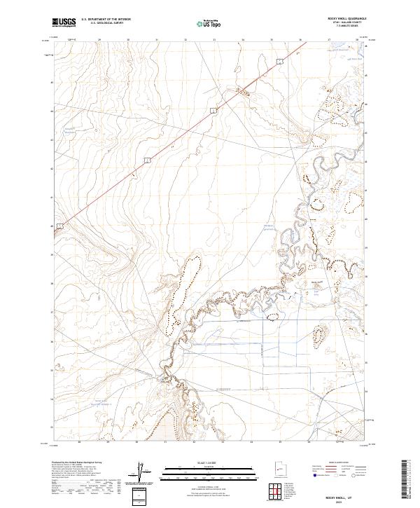
2023 Map of Rocky Knoll
USGS Topo · Published 2023About this map
The Sevier River dominates the eastern and central landscape of this Millard County quadrant, its winding course and associated Old Channel Sevier River creating a complex hydrology of oxbows and seasonal flow patterns. This area is characterized by significant water management infrastructure, including the Sevier Lake Reservoir Number 4 and Hardpan Reservoir, which are vital in this arid terrain. The map's namesake, Rocky Knoll, rises near Rocky Knoll Spring, offering a distinct geological landmark in an area otherwise defined by drainage basins and the historic Old River Bed. Local transport is facilitated by rural arteries such as the Highway 257 Cutoff Rd, providing a detailed view of how contemporary road networks and prehistoric watercourses intersect in this part of western Utah.
Find a feature on this map
13 named features on this map. Tap any name to fly to it.
Don’t see what you’re looking for? This feature index may not catch every label — zoom into the map to look around manually.
Map Details
Editions of this 2023 Rocky Knoll Map
This is the sole edition of this map. No revisions or reprints were ever made.
Other maps of this area

1885 · Sevier Desert
USGS Topo · 1:250,000

1908 · Fish Springs
USGS Topo · 1:250,000

1910 · Fish Springs
USGS Topo · 1:250,000

1953 · Delta
USGS Topo · 1:250,000

1958 · Delta
USGS Topo · 1:250,000

1962 · Delta
USGS Topo · 1:250,000

1971 · Red Pass
USGS Topo · 1:24,000

1971 · Clay Knoll
USGS Topo · 1:24,000

1971 · Rocky Knoll
USGS Topo · 1:24,000

1971 · Neels
USGS Topo · 1:24,000