
1927 Map of Rocky Mount
USGS Topo · Published 1927About this map
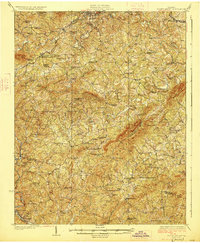
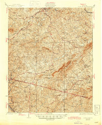
Rocky Mount serves as the focal point of this 1920s survey, situated where the Norfolk and Western Ry and the Danville and Western Ry intersect. The surrounding landscape of Franklin and Henry counties is defined by a dense network of mountain ridges, including Thornton Mountain and Brier Mountain, which dictate the paths of the Pigg River and Blackwater River. This era reveals a highly localized rural economy, marked by numerous named mills such as Cassells Mill, Hopkins Mill, and Howles Mill situated along the mountain creeks.
Find a feature on this map
91 named features on this map. Tap any name to fly to it.
Don’t see what you’re looking for? This feature index may not catch every label — zoom into the map to look around manually.
Map Details
Editions of this 1927 Rocky Mount Map
3 editions found
Other maps of this area

1890 · Roanoke
USGS Topo · 1:125,000

1890 · Christiansburg
USGS Topo · 1:125,000

1891 · Roanoke
USGS Topo · 1:125,000

1922 · Callands
USGS Topo · 1:48,000

1924 · Martinsville
USGS Topo · 1:48,000

1924 · Draper
USGS Topo · 1:48,000

1924 · Callands
USGS Topo · 1:62,500

1925 · Rocky Mount
USGS Topo · 1:48,000

1926 · Martinsville
USGS Topo · 1:62,500

1926 · Critz
USGS Topo · 1:48,000