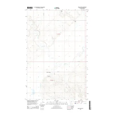
2014 Map of Rocky Point
USGS Topo · Published 2014About this map
Big Muddy Creek meanders through this portion of northeastern Montana, creating a complex series of oxbows and bends that characterize the local geography. The waterway serves as a central landmark near Slab Crossing, where The Slab Rd meets the creek's edge. To the south, the namesake Rocky Point rises as a prominent topographical feature, overlooking a landscape defined by sharp drainage patterns and remote coulees.
Find a feature on this map
14 named features on this map. Tap any name to fly to it.
Don’t see what you’re looking for? This feature index may not catch every label — zoom into the map to look around manually.
Map Details
Editions of this 2014 Rocky Point Map
This is the sole edition of this map. No revisions or reprints were ever made.
Other maps of this area

1909 · Smoke Creek
USGS Topo · 1:62,500

1912 · Smoke Creek
USGS Topo · 1:62,500

1914 · Brockton
USGS Topo · 1:62,500

1914 · Homestead
USGS Topo · 1:62,500

1947 · Rocky Point
USGS Topo · 1:24,000

1947 · Homestead
USGS Topo · 1:24,000

1948 · Homestead
USGS Topo · 1:24,000

1948 · Rocky Point
USGS Topo · 1:24,000

1948 · Fort Kipp
USGS Topo · 1:24,000

1949 · Fort Kipp
USGS Topo · 1:24,000