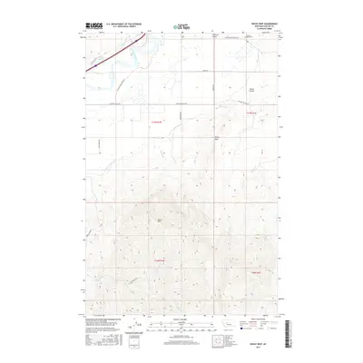
2017 Map of Rocky Reef
USGS Topo · Published 2017About this map
Missouri River waters dominate the northwestern corner of this landscape, carving past Antelope Flat and the wetland environment of Tintinger Slough. The terrain transitions sharply from the level river valley into the high, dissected ridges of the Big Belt Mountains foothills to the south. This dramatic elevation gain is centered on Harris Mtn and the namesake Rocky Reef, where numerous drainage systems like Harris Cr and Allen Cr cut through the rising slopes.
Find a feature on this map
30 named features on this map. Tap any name to fly to it.
Don’t see what you’re looking for? This feature index may not catch every label — zoom into the map to look around manually.
Map Details
Editions of this 2017 Rocky Reef Map
This is the sole edition of this map. No revisions or reprints were ever made.
Other maps of this area

1886 · Great Falls
USGS Topo · 1:250,000

1949 · Cascade
USGS Topo · 1:62,500

1951 · Cascade
USGS Topo · 1:62,500

1954 · Great Falls
USGS Topo · 1:250,000

1957 · Great Falls
USGS Topo · 1:250,000

1960 · Simms
USGS Topo · 1:62,500

1961 · Hardy
USGS Topo · 1:24,000

1961 · Hound Creek Reservoir
USGS Topo · 1:24,000

1961 · Rocky Reef
USGS Topo · 1:24,000

1961 · Schrammeck Lake
USGS Topo · 1:24,000