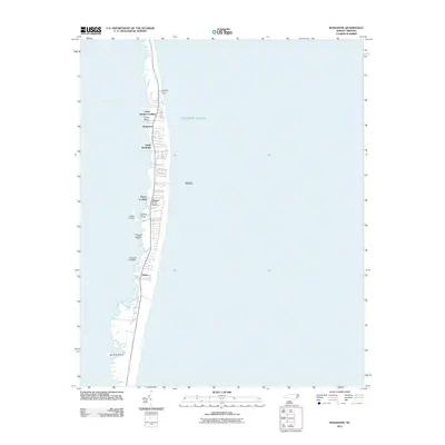
2011 Map of Rodanthe
USGS Topo · Published 2011About this map
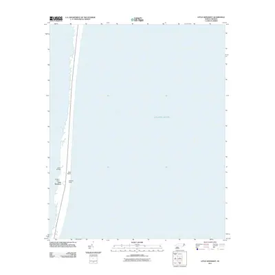
Rodanthe and the tight-knit settlements of the Outer Banks occupy a narrow, shifting ribbon of sand between the Atlantic Ocean and the Pamlico Sound. This 2011 survey documents the fragile geography of Hatteras Island, where the landscape is defined by small islands and sound-side landings. Named points of land such as Greens Point, Davids Point, and Green Point indicate the historic reliance on the sound for transport and livelihood, while the offshore Wimble Shoals and Steeple suggest the hidden hazards just off the Atlantic coast.
Find a feature on this map
20 named features on this map. Tap any name to fly to it.
Don’t see what you’re looking for? This feature index may not catch every label — zoom into the map to look around manually.
Map Details
Editions of this 2011 Rodanthe Map
This is the sole edition of this map. No revisions or reprints were ever made.
Other maps of this area

1943 · Roanoke Island
USGS Topo · 1:125,000

1955 · Wanchese
USGS Topo · 1:250,000

1957 · Manteo
USGS Topo · 1:250,000

1960 · Manteo
USGS Topo · 1:250,000

1985 · Cape Hatteras
USGS Topo · 1:100,000

1985 · Manteo
USGS Topo · 1:100,000
2011 · Gull Island
USGS Topo · 1:24,000
2011 · Pea Island OE W
USGS Topo · 1:24,000
2011 · Pea Island
USGS Topo · 1:24,000
2011 · Little Kinnakeet
USGS Topo · 1:24,000