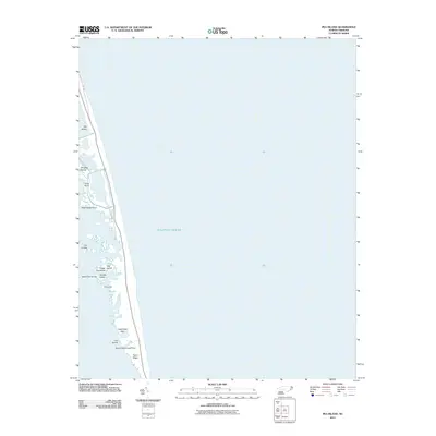
2011 Map of Pea Island
USGS Topo · Published 2011About this map
Pea Island dominates this coastal landscape, forming a narrow barrier between the Atlantic Ocean and the sound side waters of Dare County. The topography is defined by its low-lying marshes and maritime elevations such as the Lagerhead Hills and Sand Ridge. This 2011 survey captures the intricate network of shoals and small islands that dot the western shoreline, including named features like Douglas Island, Cat Island, and Hog Island Hammock. The map illustrates the precarious nature of this thin strip of land, where NC-1285 provides the primary transit route. Local maritime landmarks are noted with unusual descriptors, such as Liza Lumps, Saint Clair Lump, and Ira Lump, identifying specific underwater or marshy features critical for local navigation and geography.
Find a feature on this map
17 named features on this map. Tap any name to fly to it.
Don’t see what you’re looking for? This feature index may not catch every label — zoom into the map to look around manually.
Map Details
Editions of this 2011 Pea Island Map
This is the sole edition of this map. No revisions or reprints were ever made.
Other maps of this area

1943 · Roanoke Island
USGS Topo · 1:125,000

1955 · Wanchese
USGS Topo · 1:250,000

1957 · Manteo
USGS Topo · 1:250,000

1960 · Manteo
USGS Topo · 1:250,000

1985 · Manteo
USGS Topo · 1:100,000
2011 · Oregon Inlet
USGS Topo · 1:24,000
2011 · Pea Island OE W
USGS Topo · 1:24,000
2011 · Rodanthe
USGS Topo · 1:24,000
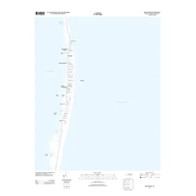
2013 · Rodanthe
USGS Topo · 1:24,000
2013 · Pea Island OE W
USGS Topo · 1:24,000