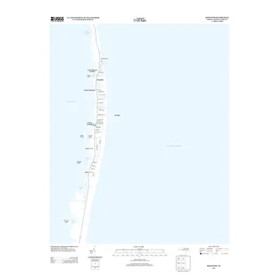
2013 Map of Rodanthe
USGS Topo · Published 2013About this map
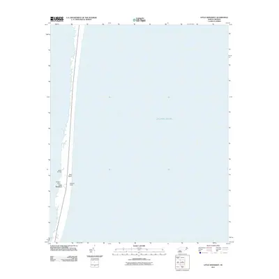
Rodanthe, Waves, and Salvo anchor this thin strip of the Outer Banks, where the land is narrowed between the Atlantic Ocean and the expansive Pamlico Sound. This 2013 survey illustrates the dense residential street networks of these coastal communities, including local thoroughfares like Sea Oats Dr and S Holiday Blvd. The map highlights a fragile geography defined by water, from the shifting sands of Wimble Shoals to the protected pockets of Midgett Cove and No Ache Bay. Small landings and points, such as Uncle Jimmys Landing and Davids Point, reveal the area's long-standing reliance on water access. The naming of features like Midgett Island and No Ache Island reflects the local nomenclature and distinct maritime identity of this section of the Dare County coast.
Find a feature on this map
45 named features on this map. Tap any name to fly to it.
Don’t see what you’re looking for? This feature index may not catch every label — zoom into the map to look around manually.
Map Details
Editions of this 2013 Rodanthe Map
This is the sole edition of this map. No revisions or reprints were ever made.
Other maps of this area

1943 · Roanoke Island
USGS Topo · 1:125,000

1955 · Wanchese
USGS Topo · 1:250,000

1957 · Manteo
USGS Topo · 1:250,000

1960 · Manteo
USGS Topo · 1:250,000

1985 · Cape Hatteras
USGS Topo · 1:100,000

1985 · Manteo
USGS Topo · 1:100,000
2011 · Gull Island
USGS Topo · 1:24,000
2011 · Pea Island OE W
USGS Topo · 1:24,000
2011 · Pea Island
USGS Topo · 1:24,000
2011 · Little Kinnakeet
USGS Topo · 1:24,000