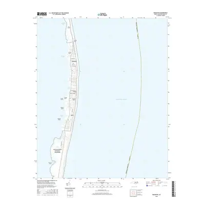
2016 Map of Rodanthe
USGS Topo · Published 2016About this map
Hatteras Island and the thin ribbons of the Outer Banks define the geography of this coastal survey, where the settlements of Rodanthe, Waves, and Salvo cluster along the narrow land between the Atlantic and the shallow sound waters. The landscape is a complex network of maritime features, from the protected marshes of Aunt Phoebes Marsh to the shifting sands of Pea Island. The map documents the northern reaches of the Cape Hatteras National Seashore, illustrating how local roads like Colony Dr and Campground Rd navigate the fragile terrain. Water features dominate the western margins, including Round Hammock Bay, Blackmar Gut, and Clarks Bay, while the treacherous Wimble Shoals lie just offshore in the Atlantic Ocean. This record provides a detailed look at the interface of human settlement and the evolving barrier island environment.
Find a feature on this map
32 named features on this map. Tap any name to fly to it.
Don’t see what you’re looking for? This feature index may not catch every label — zoom into the map to look around manually.
Map Details
Editions of this 2016 Rodanthe Map
This is the sole edition of this map. No revisions or reprints were ever made.
Other maps of this area

1943 · Roanoke Island
USGS Topo · 1:125,000

1955 · Wanchese
USGS Topo · 1:250,000

1957 · Manteo
USGS Topo · 1:250,000

1960 · Manteo
USGS Topo · 1:250,000

1985 · Cape Hatteras
USGS Topo · 1:100,000

1985 · Manteo
USGS Topo · 1:100,000
2011 · Gull Island
USGS Topo · 1:24,000
2011 · Pea Island OE W
USGS Topo · 1:24,000
2011 · Pea Island
USGS Topo · 1:24,000
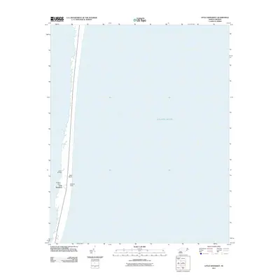
2011 · Little Kinnakeet
USGS Topo · 1:24,000