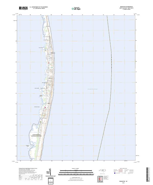
2022 Map of Rodanthe
USGS Topo · Published 2022About this map
Hatteras Island and the thin ribbons of the Outer Banks are the focus of this recent survey, capturing the fragile geography of the North Carolina coast. The three distinct communities of Rodanthe, Waves, and Salvo are depicted with their modern street grids, including Sudie Payne Rd and Sea Isle Hills Dr. This landscape is defined by the tension between the Atlantic Ocean and the sheltered sounds, where points like Greens Point and islands like Midgett Island sit amidst marshy reaches.
Find a feature on this map
31 named features on this map. Tap any name to fly to it.
Don’t see what you’re looking for? This feature index may not catch every label — zoom into the map to look around manually.
Map Details
Editions of this 2022 Rodanthe Map
This is the sole edition of this map. No revisions or reprints were ever made.
Other maps of this area

1943 · Roanoke Island
USGS Topo · 1:125,000

1955 · Wanchese
USGS Topo · 1:250,000

1957 · Manteo
USGS Topo · 1:250,000

1960 · Manteo
USGS Topo · 1:250,000

1985 · Cape Hatteras
USGS Topo · 1:100,000

1985 · Manteo
USGS Topo · 1:100,000
2011 · Gull Island
USGS Topo · 1:24,000
2011 · Pea Island OE W
USGS Topo · 1:24,000
2011 · Pea Island
USGS Topo · 1:24,000
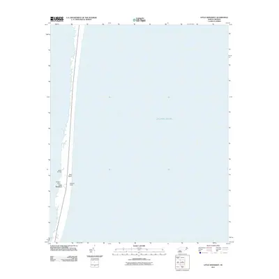
2011 · Little Kinnakeet
USGS Topo · 1:24,000