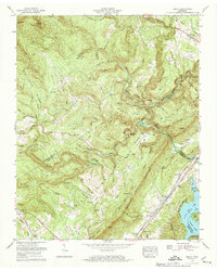
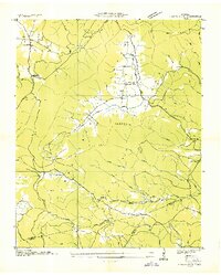
1973 Map of Roddy
USGS Topo · Published 1974About this map
Southern RR tracks cut through the Tennessee Valley corridor, tracing the boundary between the Cumberland Escarpment and the rising peaks of Walden Ridge. This mid-1970s landscape shows the transition from the rugged highlands of Cumberland Mountain to the waters of Watts Bar Lake in the southeast. Small settlements and rural centers like Westel, Greivertown, and Roddy are established along the transport arteries of U.S. Highway 27 and State Hwy 70, where the terrain begins to level toward the river. Genealogists will find a wealth of family-named landmarks and cemeteries, including Kelley Cem, Dogwood Cem, and Clifton Cem, scattered through the hollows. Distinctive landforms such as the Neck, Buzzard Point, and Hank Point illustrate the deeply dissected topography that dictated the placement of early routes and communities like Johnson Chapel and Mt Zion Ch.
Find a feature on this map
106 named features on this map. Tap any name to fly to it.
Don’t see what you’re looking for? This feature index may not catch every label — zoom into the map to look around manually.
Map Details
Editions of this 1973 Roddy Map
3 editions found
Other maps of this area

1887 · Kingston
USGS Topo · 1:125,000

1891 · Kingston
USGS Topo · 1:125,000

1893 · Kingston
USGS Topo · 1:125,000

1935 · Rockwood
USGS Topo · 1:24,000

1935 · Pennine
USGS Topo · 1:24,000

1936 · Roddy
USGS Topo · 1:24,000
1936 · Ozone
USGS Topo · 1:24,000

1936 · Cardiff
USGS Topo · 1:24,000

1936 · Spring City
USGS Topo · 1:24,000
1936 · Grassy Cove
USGS Topo · 1:24,000