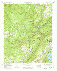
1973 Map of Roddy
USGS Topo · Published 1976About this map
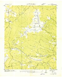
The Southern railroad corridor and the Walton Road define the northern and eastern edges of this Tennessee landscape, where the Cumberland, Roane, and Rhea county lines converge. Small settlements like Roddy and Westel are situated along these transit lines, while the interior terrain is marked by the steep relief of the Escarpment and ridges such as Gibson Ridge and Hampton Ridge.
Find a feature on this map
109 named features on this map. Tap any name to fly to it.
Don’t see what you’re looking for? This feature index may not catch every label — zoom into the map to look around manually.
Map Details
Editions of this 1973 Roddy Map
3 editions found
Other maps of this area

1887 · Kingston
USGS Topo · 1:125,000

1891 · Kingston
USGS Topo · 1:125,000

1893 · Kingston
USGS Topo · 1:125,000

1935 · Rockwood
USGS Topo · 1:24,000

1935 · Pennine
USGS Topo · 1:24,000

1936 · Roddy
USGS Topo · 1:24,000
1936 · Ozone
USGS Topo · 1:24,000

1936 · Cardiff
USGS Topo · 1:24,000

1936 · Spring City
USGS Topo · 1:24,000
1936 · Grassy Cove
USGS Topo · 1:24,000