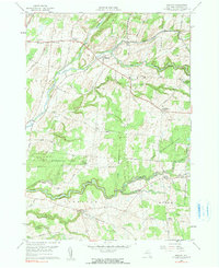
1959 Map of Rodman
USGS Topo · Published 1991About this map
Rodman and the surrounding Jefferson County uplands are defined by the intricate drainage of Sandy Creek and its many tributaries, including the North Branch Sandy Creek and South Sandy Creek. This 1959 survey reveals a landscape where the 19th-century settlement pattern of "corners"—such as Whitford Corners, Tremaines Corners, and Ross Corners—remains clearly visible alongside larger villages like Lorraine. These small crossroads communities often grew around early farmsteads and rural industries, connected by a network of local routes like Wright Road and Dobbins Road.
Find a feature on this map
59 named features on this map. Tap any name to fly to it.
Don’t see what you’re looking for? This feature index may not catch every label — zoom into the map to look around manually.
Map Details
Editions of this 1959 Rodman Map
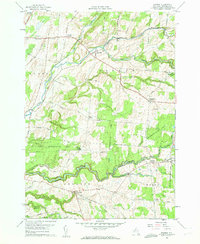
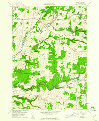
3 editions found
Other maps of this area

1893 · Sackets Harbor
USGS Topo · 1:62,500

1895 · Sacketts Harbor
USGS Topo · 1:62,500

1895 · Pulaski
USGS Topo · 1:62,500

1895 · Watertown
USGS Topo · 1:62,500

1898 · Watertown
USGS Topo · 1:62,500

1903 · Orwell
USGS Topo · 1:62,500

1905 · Orwell
USGS Topo · 1:62,500

1908 · Watertown
USGS Topo · 1:62,500

1909 · Watertown
USGS Topo · 1:62,500

1942 · Sandy Creek
USGS Topo · 1:24,000