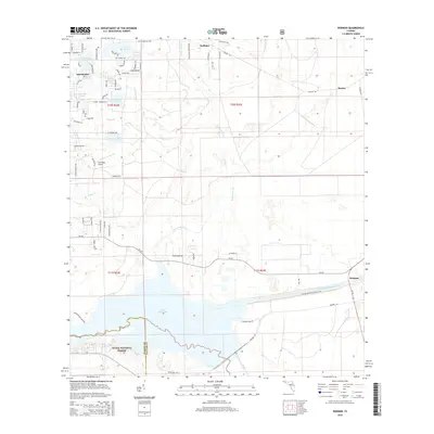
2015 Map of Rodman
USGS Topo · Published 2015About this map
Lake Ocklawaha and the prominent Cross-Florida-Barge-Canal dominate the southern half of this landscape, illustrating a major era of engineering and water management in North Central Florida. The map documents the northern boundary of the Ocala National Forest, where the Ocklawaha River flows beneath the Rodman Dam Rd. To the northwest, the town of Interlachen is surrounded by a dense cluster of small water bodies including Hasenjaeger Lake, Spring Lake, and Hardesty Lake.
Find a feature on this map
79 named features on this map. Tap any name to fly to it.
Don’t see what you’re looking for? This feature index may not catch every label — zoom into the map to look around manually.
Map Details
Editions of this 2015 Rodman Map
This is the sole edition of this map. No revisions or reprints were ever made.
Other maps of this area

1912 · Palatka
USGS Topo · 1:48,000

1915 · Palatka
USGS Topo · 1:62,500

1915 · Interlachen
USGS Topo · 1:48,000

1916 · Interlachen
USGS Topo · 1:62,500

1944 · Interlachen
USGS Topo · 1:62,500

1949 · Keuka
USGS Topo · 1:24,000

1949 · Baywood
USGS Topo · 1:24,000

1949 · Rodman
USGS Topo · 1:24,000
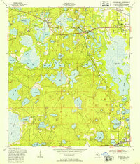
1949 · Putnam Hall
USGS Topo · 1:24,000

1949 · Interlachen
USGS Topo · 1:62,500