2024 Map of Roe
USGS Topo · Published 2024About this map
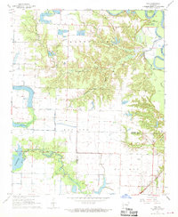
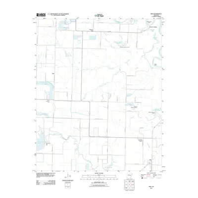
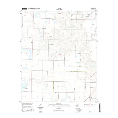
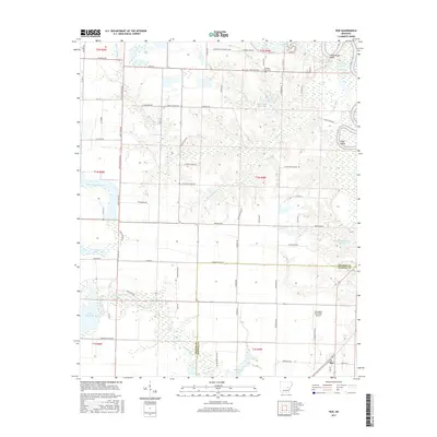
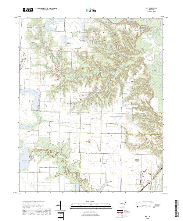
Roe sits at the southeastern edge of this landscape, where the flat agricultural plains of the Grand Prairie meet the complex drainage systems of the White River basin. The map illustrates a region heavily defined by its water management and natural wetlands, anchored by the Cache River National Wildlife Refuge in the northeast. This area contains a network of bayous and lakes, including Roc Roe Bayou and Big Twin Lake, which reflect the historical hydrology of the Arkansas Delta.
Find a feature on this map
100 named features on this map. Tap any name to fly to it.
Don’t see what you’re looking for? This feature index may not catch every label — zoom into the map to look around manually.
Map Details
Editions of this 2024 Roe Map
This is the sole edition of this map. No revisions or reprints were ever made.
Historical Maps of Roe Through Time
6 maps found