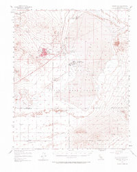
1956 Map of Rogers Lake
USGS Topo · Published 1966About this map
Edwards Air Force Base and the Air Force Flight Test Center dominate this mid-century landscape in the Antelope Valley. The transition from the high desert terrain of the Bissell Hills and Rosamond Hills to the flat, expansive surfaces of Rogers Lake and Buckhorn Lake highlights why this location became essential for aerospace development. Early aeronautical infrastructure is visible through the National Advisory Committee for Aeronautics facility and various control towers.
Find a feature on this map
33 named features on this map. Tap any name to fly to it.
Don’t see what you’re looking for? This feature index may not catch every label — zoom into the map to look around manually.
Map Details
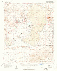
Editions of this 1956 Rogers Lake Map
2 editions found
Other maps of this area

1915 · Elizabeth Lake
USGS Topo · 1:125,000

1915 · Searles Lake
USGS Topo · 1:250,000

1915 · Mojave
USGS Topo · 1:125,000

1917 · Elizabeth Lake
USGS Topo · 1:125,000

1930 · Joshua
USGS Topo · 1:24,000

1930 · Roosevelt School
USGS Topo · 1:24,000

1930 · Casa Desierta
USGS Topo · 1:24,000

1931 · Hi Vista
USGS Topo · 1:24,000

1933 · Casa Desierta
USGS Topo · 1:24,000

1933 · Roosevelt School
USGS Topo · 1:24,000