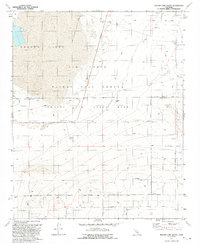
1992 Map of Rogers Lake South
USGS Topo · Published 1992About this map
Edwards Air Force Base dominates this landscape on the border of Kern and Los Angeles counties, serving as the operations hub for the Air Force Flight Test Center. The terrain is defined by the vast, flat expanse of Rogers Lake, which provides a natural landing surface for aerospace testing. This 1991 field-checked survey reveals a specialized military infrastructure, including a Tracking Station, a Radio Facility, and a designated Disposal Area. Away from the flight line, the map transitions into the high desert landscape near Mt Mesa, where a grid of rural routes such as 210th Street East and Avenue B meet the Military Reservation Boundary. Small-scale industrial activity is present in the form of a Gravel Pit and a remote Mine, illustrating the intersection of military defense and local resource extraction.
Find a feature on this map
26 named features on this map. Tap any name to fly to it.
Don’t see what you’re looking for? This feature index may not catch every label — zoom into the map to look around manually.
Map Details
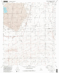
Editions of this 1992 Rogers Lake South Map
2 editions found
Other maps of this area

1930 · Joshua
USGS Topo · 1:24,000

1931 · Hi Vista
USGS Topo · 1:24,000

1934 · Joshua
USGS Topo · 1:24,000

1935 · Hi Vista
USGS Topo · 1:24,000

1937 · Shadow Mountains
USGS Topo · 1:48,000

1937 · Kramer
USGS Topo · 1:48,000

1937 · Rogers Lake
USGS Topo · 1:48,000

1942 · Kramer
USGS Topo · 1:62,500

1942 · Shadow Mountains
USGS Topo · 1:62,500

1942 · Rogers Lake
USGS Topo · 1:62,500