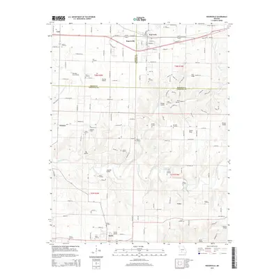
2015 Map of Rogersville
USGS Topo · Published 2015About this map
Rogersville and Sparta anchor this Ozark landscape during a period of modern rural transition, where the BNSF Railway corridor parallels Highway 60 in the north. The area is defined by a dense concentration of family and community burial grounds, such as Tallman Cemetery, Casebolt Cemetery, and Sparta Cemetery, offering significant value for genealogical research into the region’s established families.
Find a feature on this map
136 named features on this map. Tap any name to fly to it.
Don’t see what you’re looking for? This feature index may not catch every label — zoom into the map to look around manually.
Map Details
Editions of this 2015 Rogersville Map
This is the sole edition of this map. No revisions or reprints were ever made.
Other maps of this area

1884 · Springfield
USGS Topo · 1:125,000

1886 · Springfield
USGS Topo · 1:125,000

1907 · Forsyth
USGS Topo · 1:125,000

1937 · Galloway
USGS Topo · 1:24,000

1937 · Bradleyville
USGS Topo · 1:48,000

1937 · Ozark
USGS Topo · 1:48,000

1939 · Fordland
USGS Topo · 1:62,500

1942 · Fordland
USGS Topo · 1:62,500

1943 · Ozark
USGS Topo · 1:62,500

1943 · Bradleyville
USGS Topo · 1:62,500