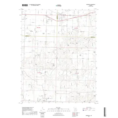
2017 Map of Rogersville
USGS Topo · Published 2017About this map
Rogersville and Sparta anchor this 2017 landscape where Greene, Christian, and Webster Counties meet. The terrain is defined by a dense network of drainages and named hollows, including Big Hollow and Parched Corn Hollow, which feed into the meandering course of Finley Creek and Pedelo Cr. This survey is particularly rich for genealogical research, documenting numerous small family and community burial grounds such as Holland Cem, Spillman Cem, and Casebolt Cem.
Find a feature on this map
144 named features on this map. Tap any name to fly to it.
Don’t see what you’re looking for? This feature index may not catch every label — zoom into the map to look around manually.
Map Details
Editions of this 2017 Rogersville Map
This is the sole edition of this map. No revisions or reprints were ever made.
Other maps of this area

1884 · Springfield
USGS Topo · 1:125,000

1886 · Springfield
USGS Topo · 1:125,000

1907 · Forsyth
USGS Topo · 1:125,000

1937 · Galloway
USGS Topo · 1:24,000

1937 · Bradleyville
USGS Topo · 1:48,000

1937 · Ozark
USGS Topo · 1:48,000

1939 · Fordland
USGS Topo · 1:62,500

1942 · Fordland
USGS Topo · 1:62,500

1943 · Ozark
USGS Topo · 1:62,500

1943 · Bradleyville
USGS Topo · 1:62,500