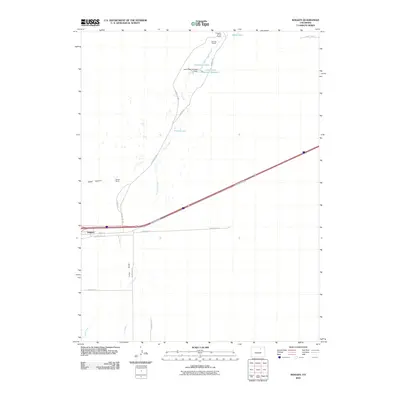
2010 Map of Roggen
USGS Topo · Published 2010About this map
The settlement of Roggen anchors the southern portion of this landscape, situated along the primary transportation corridor of Frontage Road and Interstate 76. This high-plains environment is characterized by an intricate drainage system, where Lost Creek and East Lost Creek flow northward toward a series of managed water bodies. The presence of the Lost Creek Number 1 Dam and Lost Creek Reservoir Number 1 indicates the historical importance of water management for local agriculture and livestock operations. Named ranching properties such as Lakeside Ranch, Painter Ranch, and the F Quarter Circle Ranch are scattered across the terrain, reflecting the area's rural ranching heritage. Topographic variations are marked by features like Sand Canyon and Long Draw, while smaller water features including Monahan Lakes, Waite Lake, and French Lake provide isolated points of interest in this expanse of Weld County.
Find a feature on this map
24 named features on this map. Tap any name to fly to it.
Don’t see what you’re looking for? This feature index may not catch every label — zoom into the map to look around manually.
Map Details
Editions of this 2010 Roggen Map
This is the sole edition of this map. No revisions or reprints were ever made.
Other maps of this area

1950 · South Roggen
USGS Topo · 1:24,000

1950 · Wiggins SW
USGS Topo · 1:24,000

1950 · Tampa
USGS Topo · 1:24,000

1950 · Prospect Valley
USGS Topo · 1:24,000

1950 · Masters
USGS Topo · 1:24,000

1950 · Hardin
USGS Topo · 1:24,000

1951 · Prospect Valley
USGS Topo · 1:24,000

1951 · Masters
USGS Topo · 1:24,000

1951 · Hardin
USGS Topo · 1:24,000

1951 · Roggen
USGS Topo · 1:24,000