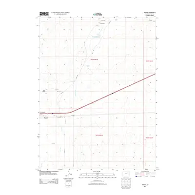
2013 Map of Roggen
USGS Topo · Published 2013About this map
Roggen anchors this part of the Colorado high plains, situated along the southern edge of a landscape defined by seasonal watercourses and agricultural ranching operations. The area is marked by a network of drainage features such as Lost Creek, East Lost Creek, and Sand Creek, which navigate the subtle topography of Sand Canyon and Long Draw. The presence of Lakeside Ranch, Monahan Lakes, and Painter Ranch suggests a region heavily utilized for cattle or farming, where water management is critical, as evidenced by the Lost Cr Reservoir Number 1. Interstate infrastructure bisects the plains here, paralleled by Front St and various frontage roads that connect these sprawling rural holdings. The map provides a detailed view of the section lines and local roads like Painter Rd and Co Road 38 that organize the territory north of the settlement.
Find a feature on this map
27 named features on this map. Tap any name to fly to it.
Don’t see what you’re looking for? This feature index may not catch every label — zoom into the map to look around manually.
Map Details
Editions of this 2013 Roggen Map
This is the sole edition of this map. No revisions or reprints were ever made.
Other maps of this area

1950 · South Roggen
USGS Topo · 1:24,000

1950 · Wiggins SW
USGS Topo · 1:24,000

1950 · Tampa
USGS Topo · 1:24,000

1950 · Prospect Valley
USGS Topo · 1:24,000

1950 · Masters
USGS Topo · 1:24,000

1950 · Hardin
USGS Topo · 1:24,000

1951 · Prospect Valley
USGS Topo · 1:24,000

1951 · Masters
USGS Topo · 1:24,000

1951 · Hardin
USGS Topo · 1:24,000

1951 · Roggen
USGS Topo · 1:24,000