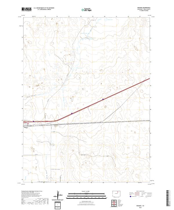
2022 Map of Roggen
USGS Topo · Published 2022About this map
Roggen serves as the primary hub of activity in this section of Weld County, situated along the Interstate 76 corridor. The surrounding landscape is defined by a series of intermittent waterways and drainage features, including the Sand Canyon and Lost Cr, which suggest a terrain shaped by occasional high-plains water flow. Significant local water management is evident through features like Lost Cr Reservoir Number 1 and French Lake, highlighting the necessity of water storage in this arid agricultural region. The network of county roads, such as Co RD 386 and Co RD 22, provides a clear view of the rural land divisions and the transportation links connecting isolated farmsteads. These infrastructure patterns, combined with features like Monahan Lakes and Waite Lake, reflect a community deeply tied to its hydrology and the vital transit routes of north-central Colorado.
Find a feature on this map
25 named features on this map. Tap any name to fly to it.
Don’t see what you’re looking for? This feature index may not catch every label — zoom into the map to look around manually.
Map Details
Editions of this 2022 Roggen Map
This is the sole edition of this map. No revisions or reprints were ever made.
Other maps of this area

1950 · South Roggen
USGS Topo · 1:24,000

1950 · Wiggins SW
USGS Topo · 1:24,000

1950 · Tampa
USGS Topo · 1:24,000

1950 · Prospect Valley
USGS Topo · 1:24,000

1950 · Masters
USGS Topo · 1:24,000

1950 · Hardin
USGS Topo · 1:24,000

1951 · Prospect Valley
USGS Topo · 1:24,000

1951 · Masters
USGS Topo · 1:24,000

1951 · Hardin
USGS Topo · 1:24,000

1951 · Roggen
USGS Topo · 1:24,000