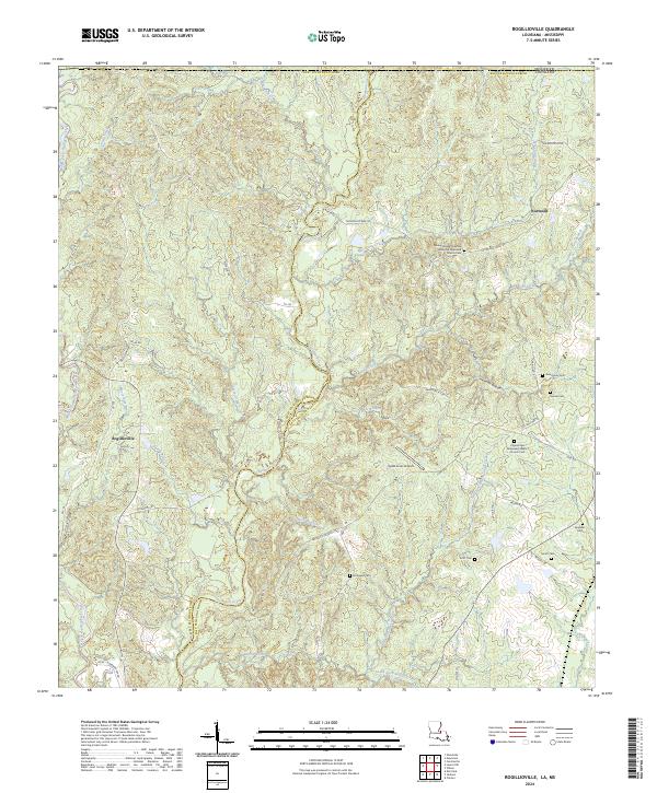
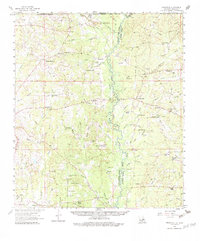
2024 Map of Rogillioville
USGS Topo · Published 2024This historical map portrays the area of Rogillioville in 2024, primarily covering East Feliciana Parish as well as portions of Mississippi. Featuring a scale of 1:24000, this map provides a highly detailed snapshot of the terrain, roads, buildings, counties, and historical landmarks in the Rogillioville region at the time. Published in 2024, it is the sole known edition of this map.
Find a feature on this map
66 named features on this map. Tap any name to fly to it.
Don’t see what you’re looking for? This feature index may not catch every label — zoom into the map to look around manually.
Map Details
Editions of this 2024 Rogillioville Map
This is the sole edition of this map. No revisions or reprints were ever made.
Historical Maps of East Feliciana Parish Through Time
11 maps found

1941 Lost Creek
East Feliciana Parish, LA
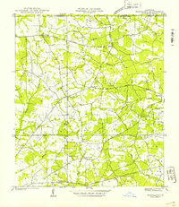
1941 Woodland
East Feliciana Parish, LA
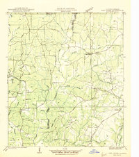
1945 Lost Creek
East Feliciana Parish, LA
1949 Bluff Creek
East Feliciana Parish, LA
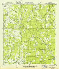
1958 Felixville
East Feliciana Parish, LA
1984 Bluff Creek
East Feliciana Parish, LA
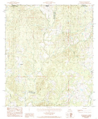
1984 Felps
East Feliciana Parish, LA
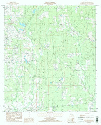
1984 Rogillioville
East Feliciana Parish, LA
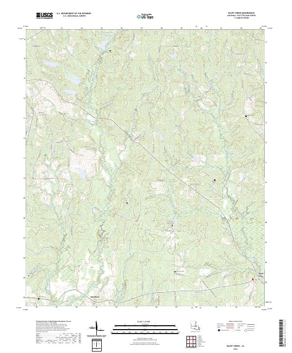
2024 Bluff Creek
East Feliciana Parish, LA
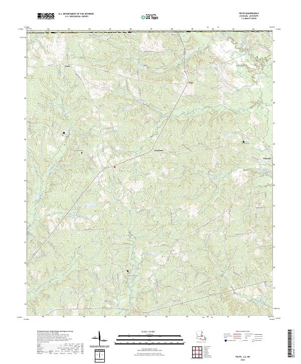
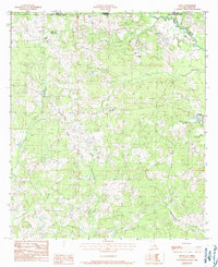
2024 Felps
East Feliciana Parish, LA
2024 Rogillioville
East Feliciana Parish, LA