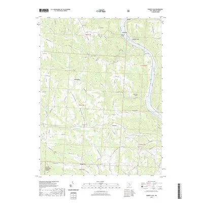
2019 Map of Rokeby Lock
USGS Topo · Published 2019About this map
The Muskingum River carves a deep valley through the northern reaches of Morgan County, dictating the settlement patterns and road networks of this rural landscape. Along its banks, the small communities of Eagleport and Rokeby Lock serve as historical focal points where the river's navigational importance is preserved in the local nomenclature. Further inland, the terrain is characterized by a series of narrow ridges and hollows, such as Poplar Ridge and Coopershop Hollow, where scattered farmsteads and rural crossroads like Joetown and Triadelphia developed.
Find a feature on this map
113 named features on this map. Tap any name to fly to it.
Don’t see what you’re looking for? This feature index may not catch every label — zoom into the map to look around manually.
Map Details
Editions of this 2019 Rokeby Lock Map
This is the sole edition of this map. No revisions or reprints were ever made.
Other maps of this area

1910 · Philo
USGS Topo · 1:62,500

1910 · Zanesville
USGS Topo · 1:62,500

1910 · Mc Connelsville
USGS Topo · 1:62,500

1911 · New Lexington
USGS Topo · 1:62,500

1947 · Columbus
USGS Topo · 1:250,000

1949 · Clarksburg
USGS Topo · 1:250,000

1956 · Clarksburg
USGS Topo · 1:250,000

1961 · Columbus
USGS Topo · 1:250,000

1961 · Clarksburg
USGS Topo · 1:250,000

1961 · Mc Connelsville
USGS Topo · 1:24,000