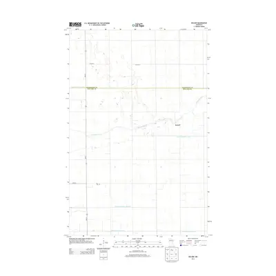
2013 Map of Roland
USGS Topo · Published 2013About this map
The Clearwater River winds through this landscape on the border of Pennington and Red Lake counties, serving as a primary drainage point for an extensive network of managed waterways. This rural region is defined by its agricultural layout, organized around a series of numbered man-made channels including Judicial Ditch Number One, Judicial Ditch Number Three, and Judicial Ditch Number Four. The map documents the small settlement of Roland and the nearby Salem Cem, providing specific locations for local family history research in this corner of northwest Minnesota.
Find a feature on this map
11 named features on this map. Tap any name to fly to it.
Don’t see what you’re looking for? This feature index may not catch every label — zoom into the map to look around manually.
Map Details
Editions of this 2013 Roland Map
This is the sole edition of this map. No revisions or reprints were ever made.
Other maps of this area

1919 · Grit
USGS Topo · 1:62,500

1919 · Winsor
USGS Topo · 1:62,500

1954 · Bemidji
USGS Topo · 1:250,000

1954 · Roseau
USGS Topo · 1:250,000

1957 · Roseau
USGS Topo · 1:250,000

1957 · Bemidji
USGS Topo · 1:250,000

1958 · Bemidji
USGS Topo · 1:250,000

1958 · Roseau
USGS Topo · 1:250,000
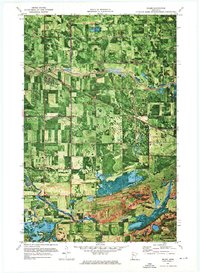
1971 · Oklee
USGS Topo · 1:24,000
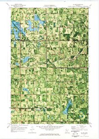
1971 · Roland
USGS Topo · 1:24,000