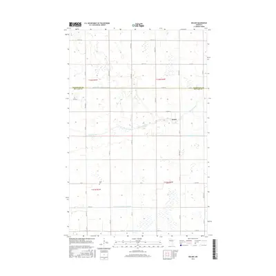
2016 Map of Roland
USGS Topo · Published 2016About this map
Roland sits within a landscape defined by an extensive network of water management systems along the Clearwater River. This 2016 survey highlights the intricate drainage infrastructure that supports agriculture in Red Lake and Pennington Counties, including major works like Judicial Ditch Number One and Judicial Ditch Number Three. The layout of the land is strictly organized by the Public Land Survey System, with a dense grid of rural roads such as Co Rd 134 and Co Rd 10 connecting the scattered homesteads. Cultural history is anchored by the Salem Cem, a notable landmark for genealogists tracing family roots in this northern Minnesota community. The map illustrates how human engineering, through features like County Ditch Number Fiftyeight and Judicial Ditch Number Four, has adapted the low-lying terrain for modern use.
Find a feature on this map
36 named features on this map. Tap any name to fly to it.
Don’t see what you’re looking for? This feature index may not catch every label — zoom into the map to look around manually.
Map Details
Editions of this 2016 Roland Map
This is the sole edition of this map. No revisions or reprints were ever made.
Other maps of this area

1919 · Grit
USGS Topo · 1:62,500

1919 · Winsor
USGS Topo · 1:62,500

1954 · Bemidji
USGS Topo · 1:250,000

1954 · Roseau
USGS Topo · 1:250,000

1957 · Roseau
USGS Topo · 1:250,000

1957 · Bemidji
USGS Topo · 1:250,000

1958 · Bemidji
USGS Topo · 1:250,000

1958 · Roseau
USGS Topo · 1:250,000
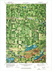
1971 · Oklee
USGS Topo · 1:24,000
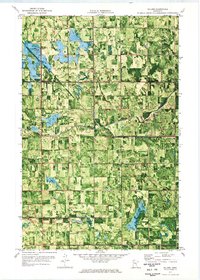
1971 · Roland
USGS Topo · 1:24,000