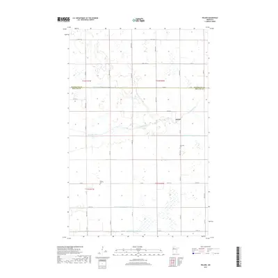
2019 Map of Roland
USGS Topo · Published 2019About this map
The Clearwater River meanders across this northern Minnesota landscape, defining the local geography as it flows through the township of Roland. This area, situated on the border of Red Lake and Pennington Counties, is characterized by its systematic agricultural drainage network. Several major engineering projects, including Judicial Ditch Number One, Judicial Ditch Number Three, and Judicial Ditch Number Four, intersect the terrain to manage the prairie wetlands for farming. For those researching local heritage, the map identifies significant sites such as the Salem Lutheran Cem and Clearwater Cem. The distribution of section-line roads like 330th Ave SE and Co Rd 1 underscores a rural settlement pattern established by the Public Land Survey System, which remains the backbone of the region's transportation and land division.
Find a feature on this map
38 named features on this map. Tap any name to fly to it.
Don’t see what you’re looking for? This feature index may not catch every label — zoom into the map to look around manually.
Map Details
Editions of this 2019 Roland Map
This is the sole edition of this map. No revisions or reprints were ever made.
Other maps of this area

1919 · Grit
USGS Topo · 1:62,500

1919 · Winsor
USGS Topo · 1:62,500

1954 · Bemidji
USGS Topo · 1:250,000

1954 · Roseau
USGS Topo · 1:250,000

1957 · Roseau
USGS Topo · 1:250,000

1957 · Bemidji
USGS Topo · 1:250,000

1958 · Bemidji
USGS Topo · 1:250,000

1958 · Roseau
USGS Topo · 1:250,000
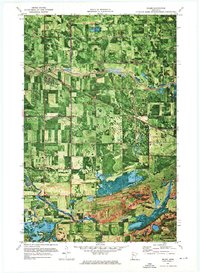
1971 · Oklee
USGS Topo · 1:24,000
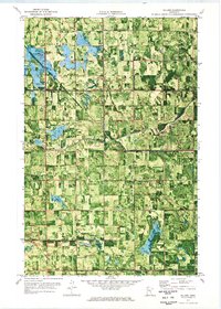
1971 · Roland
USGS Topo · 1:24,000