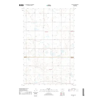
2017 Map of Rolette SW
USGS Topo · Published 2017About this map
Wright Lake and Kishpaugh Lake anchor this prairie landscape along the border of Rolette and Pierce Counties. The terrain is defined by a dense network of wetlands and small water bodies characteristic of the Drift Prairie, with Ox Cr winding through the western sections. The rural grid is established by long-standing thoroughfares such as Willow City Rd and Rolette Rd, which connect the isolated farmsteads across the township lines of T159N and T158N. This 2017 U.S. Geological Survey representation documents the persistent agricultural and hydrological patterns of the region, showing how section lines and section-line roads like 31st Ave NE and 83rd St NE dictate the movement of people and water across the North Dakota plains.
Find a feature on this map
23 named features on this map. Tap any name to fly to it.
Don’t see what you’re looking for? This feature index may not catch every label — zoom into the map to look around manually.
Map Details
Editions of this 2017 Rolette SW Map
This is the sole edition of this map. No revisions or reprints were ever made.
Other maps of this area

1953 · Devils Lake
USGS Topo · 1:250,000

1954 · Overly SE
USGS Topo · 1:24,000

1954 · Rugby NW
USGS Topo · 1:24,000

1954 · Leverich
USGS Topo · 1:24,000

1954 · Minot
USGS Topo · 1:250,000

1955 · Fonda
USGS Topo · 1:24,000

1955 · Thorne
USGS Topo · 1:24,000

1955 · Rolette SW
USGS Topo · 1:24,000

1956 · Devils Lake
USGS Topo · 1:250,000

1958 · Minot
USGS Topo · 1:250,000