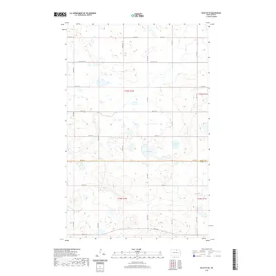
2020 Map of Rolette SW
USGS Topo · Published 2020About this map
Rolette and Pierce counties meet along a straight east-west boundary at 78th St NE, dividing a landscape defined by prairie potholes and wetlands. The terrain is dotted with small, unnamed water bodies and depressions characteristic of this region's glacial history, with Wright Lake and Kishpaugh Lake serving as the most prominent permanent water features in the northern half of the survey. The intermittent course of Ox Creek winds through the western sections, providing drainage across a territory primarily organized by the Public Land Survey System.
Find a feature on this map
23 named features on this map. Tap any name to fly to it.
Don’t see what you’re looking for? This feature index may not catch every label — zoom into the map to look around manually.
Map Details
Editions of this 2020 Rolette SW Map
This is the sole edition of this map. No revisions or reprints were ever made.
Other maps of this area

1953 · Devils Lake
USGS Topo · 1:250,000

1954 · Overly SE
USGS Topo · 1:24,000

1954 · Rugby NW
USGS Topo · 1:24,000

1954 · Leverich
USGS Topo · 1:24,000

1954 · Minot
USGS Topo · 1:250,000

1955 · Fonda
USGS Topo · 1:24,000

1955 · Thorne
USGS Topo · 1:24,000

1955 · Rolette SW
USGS Topo · 1:24,000

1956 · Devils Lake
USGS Topo · 1:250,000

1958 · Minot
USGS Topo · 1:250,000