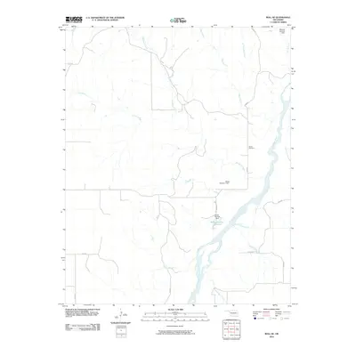
2010 Map of Roll NE
USGS Topo · Published 2010About this map
The Canadian River cuts diagonally across this portion of Ellis County, defining a landscape shaped by narrow tributaries and localized water management. To the north of the river, Ioland Cemetery stands as a primary genealogical landmark near N1950 Rd, serving as a silent witness to the area's rural settlement history. The terrain is deeply etched by numerous seasonal and perennial streams, including Hackberry Creek, Mott Creek, and Sand Creek, which converge as they approach the river valley.
Find a feature on this map
21 named features on this map. Tap any name to fly to it.
Don’t see what you’re looking for? This feature index may not catch every label — zoom into the map to look around manually.
Map Details
Editions of this 2010 Roll NE Map
This is the sole edition of this map. No revisions or reprints were ever made.
Other maps of this area

1955 · Clinton
USGS Topo · 1:250,000

1955 · Woodward
USGS Topo · 1:250,000

1957 · Clinton
USGS Topo · 1:250,000

1958 · Woodward
USGS Topo · 1:250,000

1961 · Leedey
USGS Topo · 1:62,500

1965 · Roll NE
USGS Topo · 1:24,000

1965 · Roll NW
USGS Topo · 1:24,000

1966 · Roll
USGS Topo · 1:24,000

1966 · Roll SE
USGS Topo · 1:24,000

1970 · Harmon SW
USGS Topo · 1:24,000