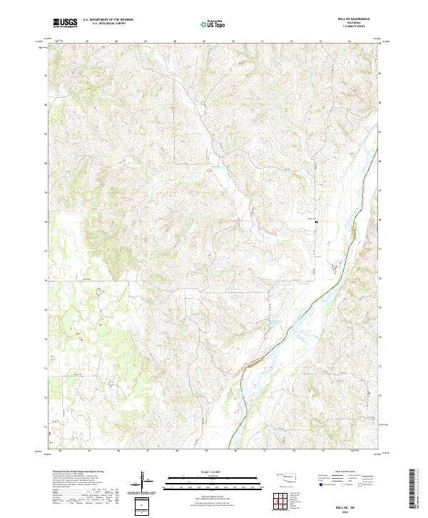
2022 Map of Roll NE
USGS Topo · Published 2022About this map
The Canadian River meanders through the heart of the eastern panhandle borderlands, defining the boundary between Ellis and Roger Mills counties. This landscape is characterized by a dense network of drainage systems, including Hackberry Creek and Spotted Deer Creek, which feed into the primary river valley. The presence of the Ioland Cemetery on the eastern bluffs suggests the location of an earlier settlement or pioneer community established on the high ground above the floodplains. To the south, the Brown-Number Reservoir and several small tributaries like Black Bull Creek and Coon Creek mark a terrain shaped by both natural erosion and local water management. The road network, primarily organized along section lines like N1950 Road and E0770 Road, highlights the rural, agricultural structure of this Oklahoma region in the early twenty-first century.
Find a feature on this map
32 named features on this map. Tap any name to fly to it.
Don’t see what you’re looking for? This feature index may not catch every label — zoom into the map to look around manually.
Map Details
Editions of this 2022 Roll NE Map
This is the sole edition of this map. No revisions or reprints were ever made.
Other maps of this area

1955 · Clinton
USGS Topo · 1:250,000

1955 · Woodward
USGS Topo · 1:250,000

1957 · Clinton
USGS Topo · 1:250,000

1958 · Woodward
USGS Topo · 1:250,000

1961 · Leedey
USGS Topo · 1:62,500

1965 · Roll NE
USGS Topo · 1:24,000

1965 · Roll NW
USGS Topo · 1:24,000

1966 · Roll
USGS Topo · 1:24,000

1966 · Roll SE
USGS Topo · 1:24,000

1970 · Harmon SW
USGS Topo · 1:24,000