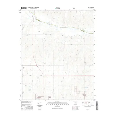
2016 Map of Roll
USGS Topo · Published 2016About this map
The Canadian River cuts through the northern reaches of this western Oklahoma landscape, a region defined by its wide plains and deep-cut drainage creeks. The small settlement of Roll serves as the central hub for the surrounding ranching and agricultural lands, positioned just north of the expansive Black Kettle National Grassland. The topography reveals distinctive local landmarks such as Ant Hill and the broad Pie Flat, while the hydrography is marked by human intervention in the form of the Tri-County Turkey Creek Site 2 Reservoir and the R Wickham-Number 1 Reservoir.
Find a feature on this map
40 named features on this map. Tap any name to fly to it.
Don’t see what you’re looking for? This feature index may not catch every label — zoom into the map to look around manually.
Map Details
Editions of this 2016 Roll Map
This is the sole edition of this map. No revisions or reprints were ever made.
Other maps of this area

1955 · Clinton
USGS Topo · 1:250,000

1957 · Clinton
USGS Topo · 1:250,000

1960 · Cheyenne
USGS Topo · 1:62,500

1961 · Reydon
USGS Topo · 1:62,500

1965 · Roll NE
USGS Topo · 1:24,000

1965 · Roll NW
USGS Topo · 1:24,000

1965 · Crawford
USGS Topo · 1:24,000

1966 · Roll
USGS Topo · 1:24,000

1966 · Antelope Hills NE
USGS Topo · 1:24,000

1966 · Roll SE
USGS Topo · 1:24,000