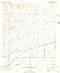
1955 Map of Roll
USGS Topo · Published 1956About this map
The Southern Pacific railroad corridor anchors this mid-century view of the desert landscape south of the Castle Dome Mts. The settlement of Roll serves as a small hub of activity in the southern portion of the quadrangle, supported by the Mohawk Valley Sch. This area represents a stark divide between the arid northern reaches, largely occupied by the Yuma Test Station and crisscrossed by a Jeep Trail, and the irrigated agricultural lands of the Mohawk Valley to the south.
Find a feature on this map
14 named features on this map. Tap any name to fly to it.
Don’t see what you’re looking for? This feature index may not catch every label — zoom into the map to look around manually.
Map Details
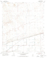
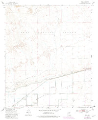
Editions of this 1955 Roll Map
3 editions found
Other maps of this area

1926 · Wellton
USGS Topo · 1:62,500

1926 · Mohawk
USGS Topo · 1:62,500

1928 · Mohawk
USGS Topo · 1:62,500

1928 · Norton
USGS Topo · 1:62,500

1929 · Wellton
USGS Topo · 1:62,500

1929 · Norton
USGS Topo · 1:62,500

1942 · Yuma
USGS Topo · 1:250,000

1953 · Ajo
USGS Topo · 1:250,000

1954 · El Centro
USGS Topo · 1:250,000

1955 · El Centro
USGS Topo · 1:250,000