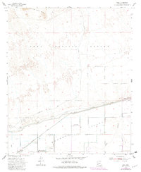
1955 Map of Roll
USGS Topo · Published 1982About this map
The Mohawk Valley landscape in the mid-1950s is defined by a sharp contrast between the irrigated agricultural lands of the Gila River basin and the arid expanse of the Yuma Proving Ground. Irrigation infrastructure is central to the settlement pattern here, with the Mohawk Canal and various levees, including the Tyson Levee, managing the water that supports the community of Roll and family-named holdings like Terry Ranch.
Find a feature on this map
15 named features on this map. Tap any name to fly to it.
Don’t see what you’re looking for? This feature index may not catch every label — zoom into the map to look around manually.
Map Details
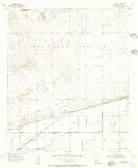
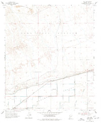
Editions of this 1955 Roll Map
3 editions found
Other maps of this area

1926 · Wellton
USGS Topo · 1:62,500

1926 · Mohawk
USGS Topo · 1:62,500

1928 · Mohawk
USGS Topo · 1:62,500

1928 · Norton
USGS Topo · 1:62,500

1929 · Wellton
USGS Topo · 1:62,500

1929 · Norton
USGS Topo · 1:62,500

1942 · Yuma
USGS Topo · 1:250,000

1953 · Ajo
USGS Topo · 1:250,000

1954 · El Centro
USGS Topo · 1:250,000

1955 · El Centro
USGS Topo · 1:250,000