
1973 Map of Rolla NW
USGS Topo · Published 1975About this map
The Old Santa Fe Trail (Approximate Location) cuts across the northern reaches of this Kansas landscape, marking the historic path through the high plains of Morton County. This mid-1970s survey illustrates a rural environment increasingly defined by natural resource extraction, with numerous Gas Wells and individual Gas Well sites dotting the sections north and south of the river. The Cimarron River winds through the center of the sheet, its wide sandy bed flanked by green vegetation and divided by the boundary lines of Richfield, Rolla, and Cimarron. Beyond the energy infrastructure, the map reveals a meticulously surveyed grid of section lines and fence rows, showing the intersection of historic transit routes and modern land management in this corner of the state.
Find a feature on this map
8 named features on this map. Tap any name to fly to it.
Don’t see what you’re looking for? This feature index may not catch every label — zoom into the map to look around manually.
Map Details
Editions of this 1973 Rolla NW Map
This is the sole edition of this map. No revisions or reprints were ever made.
Other maps of this area

1955 · Dodge City
USGS Topo · 1:250,000

1958 · Dodge City
USGS Topo · 1:250,000

1959 · Dodge City
USGS Topo · 1:250,000

1973 · Shore Airport SW
USGS Topo · 1:24,000

1973 · Elkhart NE
USGS Topo · 1:24,000

1973 · Rolla NE
USGS Topo · 1:24,000
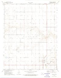
1973 · Richfield
USGS Topo · 1:24,000
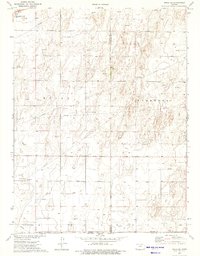
1974 · Rolla SE
USGS Topo · 1:24,000
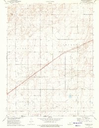
1974 · Wilburton
USGS Topo · 1:24,000

1974 · Shore Airport SE
USGS Topo · 1:24,000