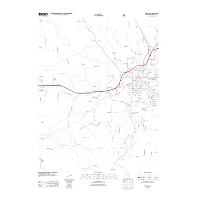
2013 Map of Rolla
USGS Topo · Published 2013About this map
Northwye and the outskirts of Doolittle define the northern and western margins of this Phelps County landscape, where the Ozark Plateau begins its descent into various creek drainages. The Rolla Downtown Airport serves as a modern landmark central to a network of county roads and private drives that traverse the undulating terrain of Pea Ridge and Hurricane Point. This region is particularly defined by its hydrology, featuring numerous natural springs and tributaries including Gollahon Spring and Martin Spring.
Find a feature on this map
182 named features on this map. Tap any name to fly to it.
Don’t see what you’re looking for? This feature index may not catch every label — zoom into the map to look around manually.
Map Details
Editions of this 2013 Rolla Map
This is the sole edition of this map. No revisions or reprints were ever made.
Other maps of this area

1912 · Rolla
USGS Topo · 1:62,500

1928 · Meramec Spring
USGS Topo · 1:62,500

1934 · Redbird
USGS Topo · 1:62,500

1937 · Vienna
USGS Topo · 1:62,500

1938 · Redbird
USGS Topo · 1:62,500

1938 · Vienna
USGS Topo · 1:48,000

1949 · Saint Louis
USGS Topo · 1:250,000

1949 · Vienna
USGS Topo · 1:62,500

1949 · Rolla
USGS Topo · 1:250,000

1949 · Meramec Spring
USGS Topo · 1:62,500