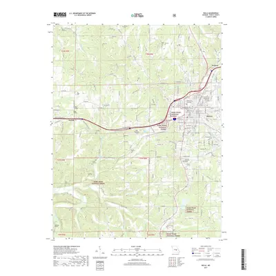
2017 Map of Rolla
USGS Topo · Published 2017About this map
The Missouri Univ of Science and Technology anchors the eastern edge of this landscape, situated within the city of Rolla. This area serves as a critical junction where the BNSF Railway and major highways intersect, facilitating movement across the transition from urban centers to the protected lands of the Mark Twain National Forest. The geography is defined by a high density of small family and community burial grounds, such as the Pea Ridge Cem, Joshau Light Cem, and the Hoss-Ray-Miller-Cem, which offer significant value for genealogical research in Phelps County.
Find a feature on this map
187 named features on this map. Tap any name to fly to it.
Don’t see what you’re looking for? This feature index may not catch every label — zoom into the map to look around manually.
Map Details
Editions of this 2017 Rolla Map
This is the sole edition of this map. No revisions or reprints were ever made.
Other maps of this area

1912 · Rolla
USGS Topo · 1:62,500

1928 · Meramec Spring
USGS Topo · 1:62,500

1934 · Redbird
USGS Topo · 1:62,500

1937 · Vienna
USGS Topo · 1:62,500

1938 · Redbird
USGS Topo · 1:62,500

1938 · Vienna
USGS Topo · 1:48,000

1949 · Saint Louis
USGS Topo · 1:250,000

1949 · Vienna
USGS Topo · 1:62,500

1949 · Rolla
USGS Topo · 1:250,000

1949 · Meramec Spring
USGS Topo · 1:62,500