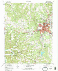
1992 Map of Rolla
USGS Topo · Published 1995About this map
The Univ of Missouri-Rolla serves as the focal point of this educational and industrial hub in the northern Ozarks. The urban core of Rolla is well-defined by the Burlington Northern railroad corridor and major thoroughfares like Salem Rd and Dutro Carter Rd. To the west and south, the terrain becomes increasingly complex as it enters the Mark Twain National Forest, where a network of caves such as Poole Hollow Cave and McCormick Cave perforates the limestone landscape.
Find a feature on this map
70 named features on this map. Tap any name to fly to it.
Don’t see what you’re looking for? This feature index may not catch every label — zoom into the map to look around manually.
Map Details
Editions of this 1992 Rolla Map
This is the sole edition of this map. No revisions or reprints were ever made.
Other maps of this area
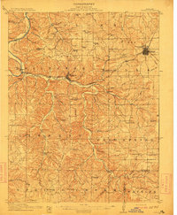
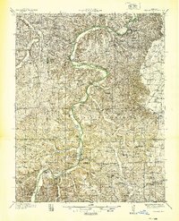
1912 · Rolla
USGS Topo · 1:62,500
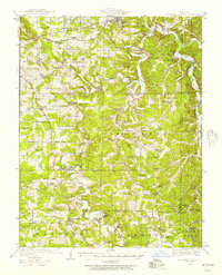
1928 · Meramec Spring
USGS Topo · 1:62,500

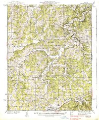
1934 · Redbird
USGS Topo · 1:62,500
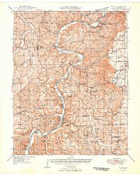
1937 · Vienna
USGS Topo · 1:62,500
1938 · Redbird
USGS Topo · 1:62,500
1938 · Vienna
USGS Topo · 1:48,000

1949 · Saint Louis
USGS Topo · 1:250,000
1949 · Vienna
USGS Topo · 1:62,500

1949 · Rolla
USGS Topo · 1:250,000
1949 · Meramec Spring
USGS Topo · 1:62,500