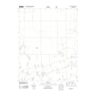
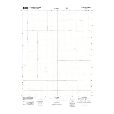
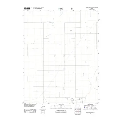
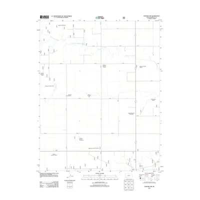
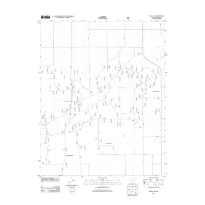
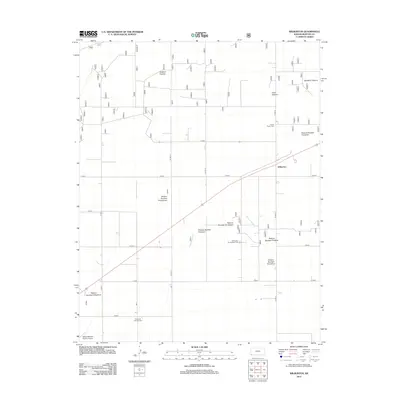
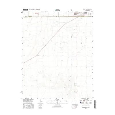
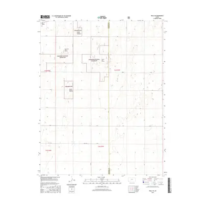
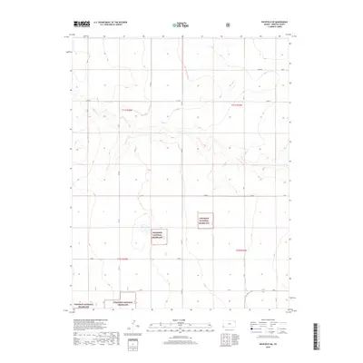
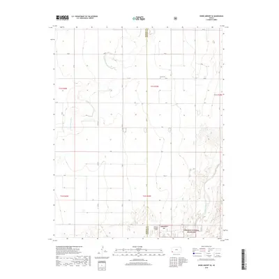
1974 Map of Rolla SE
USGS Topo · Published 1976About this map
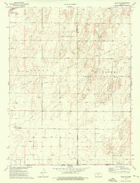
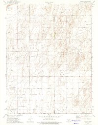
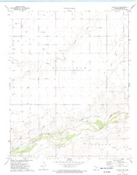
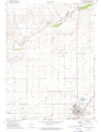
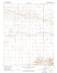
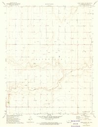
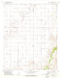
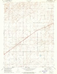
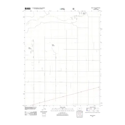
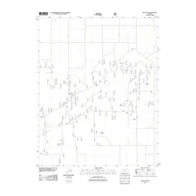
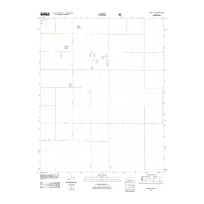
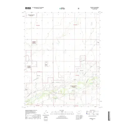
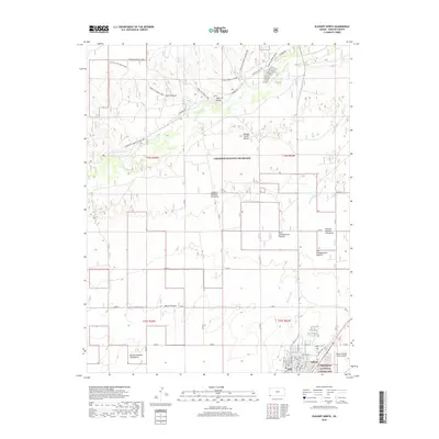
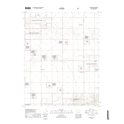
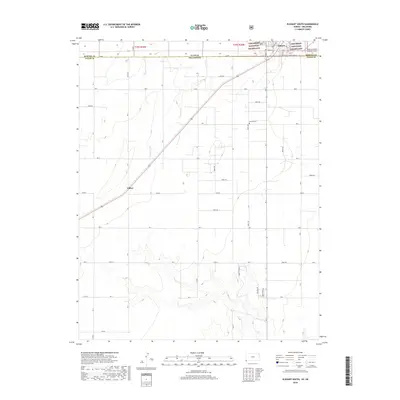
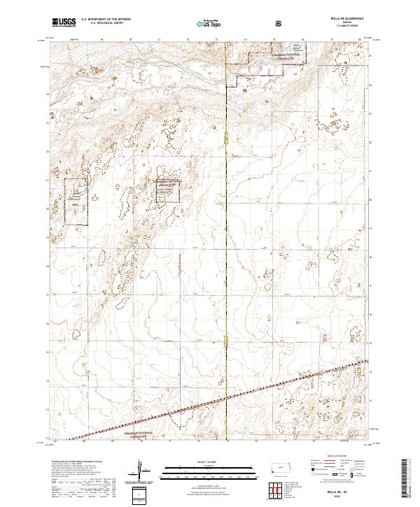
Rolla and the high plains of Morton County are captured in this mid-1970s survey, illustrating a landscape defined by industrial development and energy extraction. The map documents an extensive network of Pipeline corridors and dozens of Gas Wells that punctuate the terrain, reflecting the region's mid-century economic shift toward petroleum and natural gas. In the northwest corner, the town of Rolla is situated alongside the C R I & P railroad, which served as a vital transportation link for this corner of Kansas. The topography transitions south across the border between Kansas and Oklahoma, where the infrastructure of the energy industry continues with a Compressor Station and Radio Tower. The inclusion of the Voorhees area provides a glimpse into the spatial organization of the rural townships just before the late 20th-century expansion of modern agricultural techniques.
Find a feature on this map
13 named features on this map. Tap any name to fly to it.
Don’t see what you’re looking for? This feature index may not catch every label — zoom into the map to look around manually.
Map Details
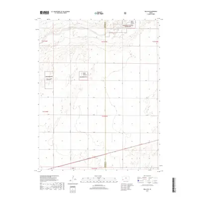
Editions of this 1974 Rolla SE Map
2 editions found
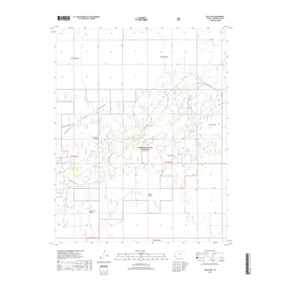
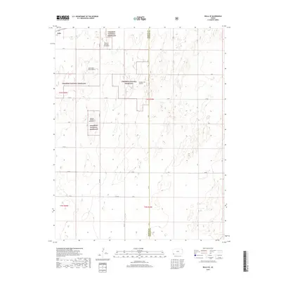
Historical Maps of Rolla Through Time
65 maps found
1973 Elkhart NE
Morton County, KS
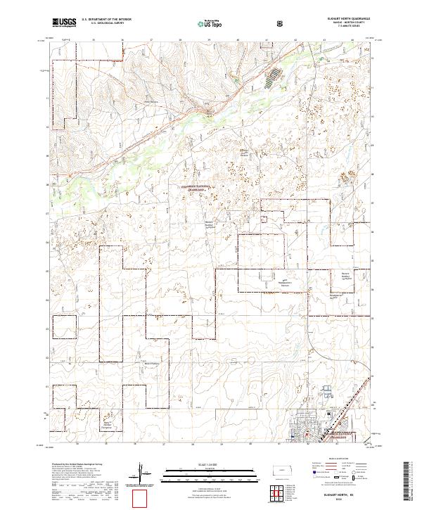
1973 Elkhart North
Morton County, KS
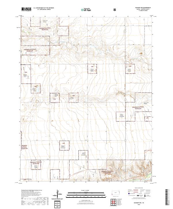
1973 Elkhart NW
Morton County, KS
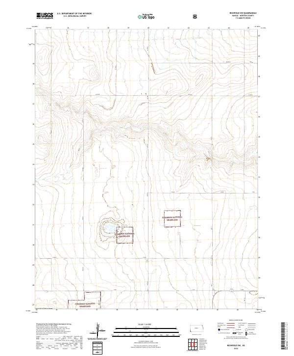
1973 Richfield SW
Morton County, KS
1973 Rolla NE
Morton County, KS
1973 Rolla NW
Morton County, KS
1973 Shore Airport SW
Morton County, KS
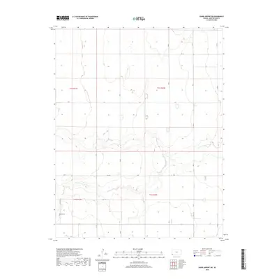
1974 Rolla SE
Morton County, KS
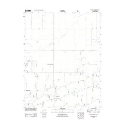
1974 Shore Airport SE
Morton County, KS
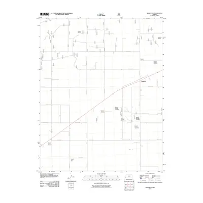
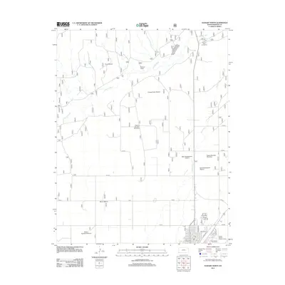
1974 Wilburton
Morton County, KS
2010 Shore Airport SW
Morton County, KS
2011 Elkhart NE
Morton County, KS
2011 Elkhart North
Morton County, KS
2011 Elkhart NW
Morton County, KS
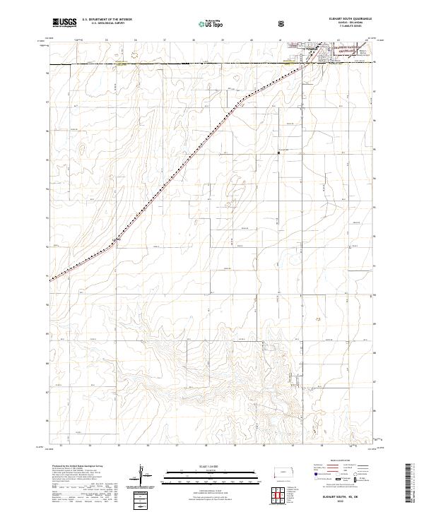
2011 Elkhart South
Morton County, KS
2011 Richfield SW
Morton County, KS
2011 Rolla NE
Morton County, KS
2011 Rolla NW
Morton County, KS
2011 Rolla SE
Morton County, KS
2011 Shore Airport SE
Morton County, KS
2011 Wilburton
Morton County, KS
2012 Elkhart NE
Morton County, KS
2012 Elkhart North
Morton County, KS
2012 Elkhart NW
Morton County, KS
2012 Elkhart South
Morton County, KS
2012 Richfield SW
Morton County, KS
2012 Rolla NE
Morton County, KS
2012 Rolla NW
Morton County, KS
2012 Rolla SE
Morton County, KS
2012 Shore Airport SE
Morton County, KS
2012 Shore Airport SW
Morton County, KS
2012 Wilburton
Morton County, KS
2015 Elkhart NE
Morton County, KS
2015 Elkhart North
Morton County, KS
2015 Elkhart NW
Morton County, KS
2015 Elkhart South
Morton County, KS
2015 Richfield SW
Morton County, KS
2015 Rolla NE
Morton County, KS
2015 Rolla NW
Morton County, KS
2015 Rolla SE
Morton County, KS
2015 Shore Airport SE
Morton County, KS
2015 Shore Airport SW
Morton County, KS
2015 Wilburton
Morton County, KS
2018 Elkhart NE
Morton County, KS
2018 Elkhart North
Morton County, KS
2018 Elkhart NW
Morton County, KS
2018 Elkhart South
Morton County, KS
2018 Richfield SW
Morton County, KS
2018 Rolla NE
Morton County, KS
2018 Rolla NW
Morton County, KS
2018 Rolla SE
Morton County, KS
2018 Shore Airport SE
Morton County, KS
2018 Shore Airport SW
Morton County, KS
2018 Wilburton
Morton County, KS
2022 Elkhart NE
Morton County, KS
2022 Elkhart North
Morton County, KS
2022 Elkhart NW
Morton County, KS
2022 Elkhart South
Morton County, KS
2022 Richfield SW
Morton County, KS
2022 Rolla NE
Morton County, KS
2022 Rolla NW
Morton County, KS
2022 Rolla SE
Morton County, KS
2022 Shore Airport SE
Morton County, KS
2022 Shore Airport SW
Morton County, KS
2022 Wilburton
Morton County, KS