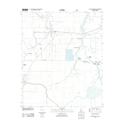
2012 Map of Rolling Fork East
USGS Topo · Published 2012About this map
Anguilla serves as the primary population center on this Sharkey County landscape, where the flat alluvial terrain is defined by a complex network of waterways and landings. The Big Sunflower River meanders through the eastern portion of the map, punctuated by numerous historic river access points such as Dogwood Landing, Chapel Landing, and White House Landing. These sites reflect the traditional river-and-rail economy that shaped the Mississippi Delta.
Find a feature on this map
63 named features on this map. Tap any name to fly to it.
Don’t see what you’re looking for? This feature index may not catch every label — zoom into the map to look around manually.
Map Details
Editions of this 2012 Rolling Fork East Map
This is the sole edition of this map. No revisions or reprints were ever made.
Other maps of this area

1939 · Lorenzen
USGS Topo · 1:62,500

1939 · Swan Lake
USGS Topo · 1:62,500

1940 · Auter
USGS Topo · 1:62,500

1953 · Greenwood
USGS Topo · 1:250,000

1955 · Jackson
USGS Topo · 1:250,000

1956 · Greenwood
USGS Topo · 1:250,000

1961 · Jackson
USGS Topo · 1:250,000

1961 · Bayland
USGS Topo · 1:62,500

1962 · Jackson
USGS Topo · 1:250,000

1964 · Lorenzen
USGS Topo · 1:62,500