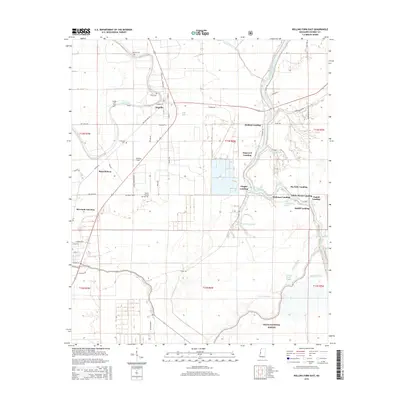
2015 Map of Rolling Fork East
USGS Topo · Published 2015About this map
Anguilla stands as the primary settlement in this Sharkey County landscape, where the agricultural grid of the Mississippi Delta meets the dense wetlands of the Delta National Forest. The map documents a complex network of waterways, most notably the winding Big Sunflower River which is lined with historic river access points such as Holland Landing, Dogwood Landing, and White House Landing. These landings suggest a legacy of river-based commerce and transit that once defined the region's economy.
Find a feature on this map
67 named features on this map. Tap any name to fly to it.
Don’t see what you’re looking for? This feature index may not catch every label — zoom into the map to look around manually.
Map Details
Editions of this 2015 Rolling Fork East Map
This is the sole edition of this map. No revisions or reprints were ever made.
Other maps of this area

1939 · Lorenzen
USGS Topo · 1:62,500

1939 · Swan Lake
USGS Topo · 1:62,500

1940 · Auter
USGS Topo · 1:62,500

1953 · Greenwood
USGS Topo · 1:250,000

1955 · Jackson
USGS Topo · 1:250,000

1956 · Greenwood
USGS Topo · 1:250,000

1961 · Jackson
USGS Topo · 1:250,000

1961 · Bayland
USGS Topo · 1:62,500

1962 · Jackson
USGS Topo · 1:250,000

1964 · Lorenzen
USGS Topo · 1:62,500