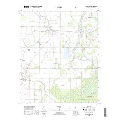
2018 Map of Rolling Fork East
USGS Topo · Published 2018About this map
The Big Sunflower River and Deer Creek define the fertile bottomlands of Sharkey County, where the agricultural legacy of the Mississippi Delta remains central to the landscape. The town of Anguilla serves as a local hub, surrounded by family-named landmarks and historical burial sites such as Golden Link Cem and Vicks Cem. Further south, the county seat of Rolling Fork marks a significant intersection of local life and commerce, situated near the distinctive Mont Helena site.
Find a feature on this map
67 named features on this map. Tap any name to fly to it.
Don’t see what you’re looking for? This feature index may not catch every label — zoom into the map to look around manually.
Map Details
Editions of this 2018 Rolling Fork East Map
This is the sole edition of this map. No revisions or reprints were ever made.
Other maps of this area

1939 · Lorenzen
USGS Topo · 1:62,500

1939 · Swan Lake
USGS Topo · 1:62,500

1940 · Auter
USGS Topo · 1:62,500

1953 · Greenwood
USGS Topo · 1:250,000

1955 · Jackson
USGS Topo · 1:250,000

1956 · Greenwood
USGS Topo · 1:250,000

1961 · Jackson
USGS Topo · 1:250,000

1961 · Bayland
USGS Topo · 1:62,500

1962 · Jackson
USGS Topo · 1:250,000

1964 · Lorenzen
USGS Topo · 1:62,500