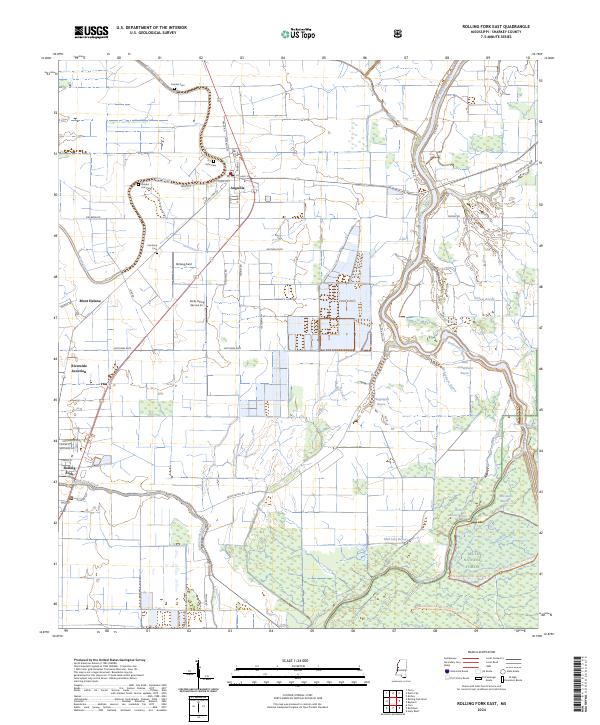
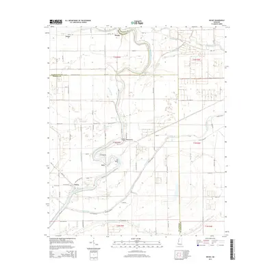
2024 Map of Rolling Fork East
USGS Topo · Published 2024About this map
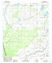
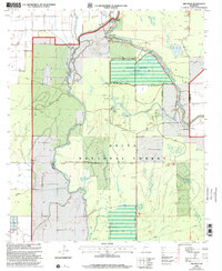
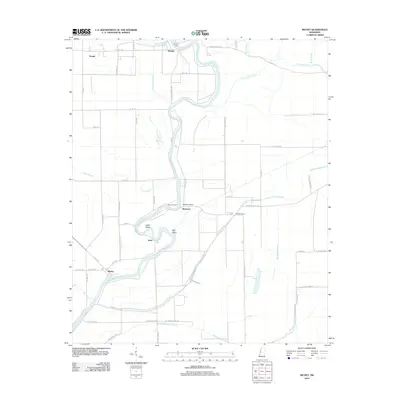
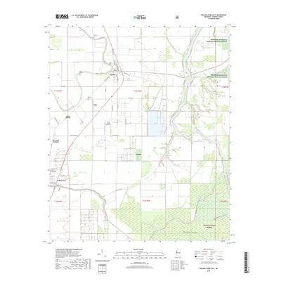
Anguilla and the northern outskirts of Rolling Fork anchor this Sharkey County landscape, where the alluvial plain is defined by a dense network of meandering waterways. The Big Sunflower River winds along the eastern boundary, complemented by numerous smaller channels including Deer Creek, Little Atchafalaya Bayou, and Widow Bayou. This environment supports significant conservation areas, notably the Theodore Roosevelt National Wildlife Refuge and portions of the Delta National Forest in the southeast. Local history is preserved in small rural burial grounds like Cameta Cem, Vicks Cem, and Golden Link Cem. The area’s aviation and transit history is reflected in Rollang Field, the operations of Nicks Flying Service Inc, and the rail-aligned Riverside Junction, while the prominent Mont Helena stands as a distinct landmark west of the main settlements.
Find a feature on this map
65 named features on this map. Tap any name to fly to it.
Don’t see what you’re looking for? This feature index may not catch every label — zoom into the map to look around manually.
Map Details
Editions of this 2024 Rolling Fork East Map
This is the sole edition of this map. No revisions or reprints were ever made.
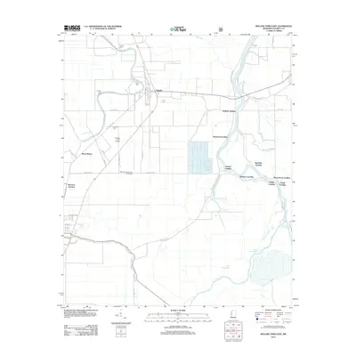
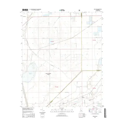
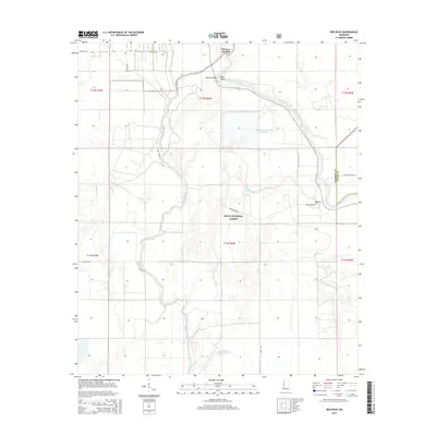
Historical Maps of Rolling Fork Through Time
29 maps found
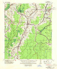
1939 Lorenzen
Sharkey County, MS
1964 Lorenzen
Sharkey County, MS
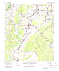
1965 Richey
Sharkey County, MS
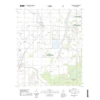
1988 Bayland
Sharkey County, MS
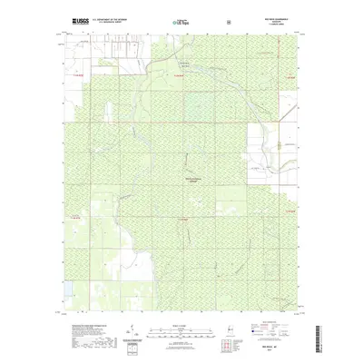
1988 Red Rock
Sharkey County, MS
1988 Rolling Fork East
Sharkey County, MS
2000 Bayland
Sharkey County, MS
2000 Red Rock
Sharkey County, MS
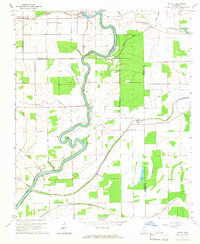
2000 Rolling Fork East
Sharkey County, MS
2012 Bayland
Sharkey County, MS
2012 Red Rock
Sharkey County, MS
2012 Richey
Sharkey County, MS
2012 Rolling Fork East
Sharkey County, MS
2015 Bayland
Sharkey County, MS
2015 Red Rock
Sharkey County, MS
2015 Richey
Sharkey County, MS
2015 Rolling Fork East
Sharkey County, MS
2018 Bayland
Sharkey County, MS
2018 Red Rock
Sharkey County, MS
2018 Richey
Sharkey County, MS
2018 Rolling Fork East
Sharkey County, MS
2020 Richey
Sharkey County, MS
2021 Bayland
Sharkey County, MS
2021 Red Rock
Sharkey County, MS
2021 Rolling Fork East
Sharkey County, MS
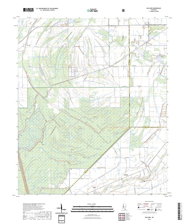
2024 Bayland
Sharkey County, MS

2024 Red Rock
Sharkey County, MS
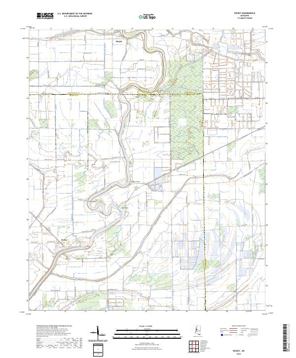
2024 Richey
Sharkey County, MS
2024 Rolling Fork East
Sharkey County, MS