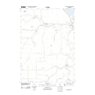
2011 Map of Rollingstone
USGS Topo · Published 2011About this map
Rollingstone and Minnesota City occupy a landscape deeply etched by the driftless-area valleys of Winona County. This 2011 survey details the complex drainage systems where Rollingstone Creek and Garvin Brook converge, flanked by dramatic topographical features like Preston Valley and Stockton Valley. The map highlights the localized water management of the era through multiple small-scale dams, including the Francis Speltz Dam and Lloyd Haxton Dam, which moderate the flow near Speltz Lake.
Find a feature on this map
51 named features on this map. Tap any name to fly to it.
Don’t see what you’re looking for? This feature index may not catch every label — zoom into the map to look around manually.
Map Details
Editions of this 2011 Rollingstone Map
This is the sole edition of this map. No revisions or reprints were ever made.
Other maps of this area

1929 · Fountain City
USGS Topo · 1:62,500

1932 · Cochrane
USGS Topo · 1:62,500

1934 · Winona
USGS Topo · 1:62,500

1934 · Cochrane
USGS Topo · 1:62,500

1937 · Winona
USGS Topo · 1:62,500

1937 · Cochrane
USGS Topo · 1:62,500

1953 · Eau Claire
USGS Topo · 1:250,000

1954 · Lewiston
USGS Topo · 1:62,500

1958 · Eau Claire
USGS Topo · 1:250,000

1958 · Houston
USGS Topo · 1:62,500