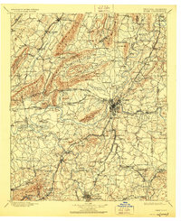
1904 Map of Rome
USGS Topo · Published 1928About this map
Rome serves as the central hub of this Northwest Georgia landscape, positioned where the Etowah River and Oostanaula River converge to form the Coosa River. During this late nineteenth-century survey, a dense network of ferries and landings, such as Neals Ferry and Potash Landing, facilitated trade and travel across these prominent waterways. The terrain is defined by several significant ridges, including Lavender Mountain and Horseleg Mountain, which separate valley settlements and dictate the paths of numerous railroads like the Chattanooga Southern R. R. and Southern Ry. To the south, Cedartown anchors the agricultural and industrial activity near the Floyd Co Polk Co line. Smaller communities such as Lyerly, Cave Spring, and Lindale are scattered throughout the valleys, many connected by the rail lines that served the region's early textile and mining interests.
Find a feature on this map
139 named features on this map. Tap any name to fly to it.
Don’t see what you’re looking for? This feature index may not catch every label — zoom into the map to look around manually.
Map Details
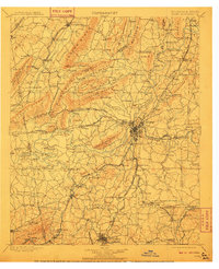
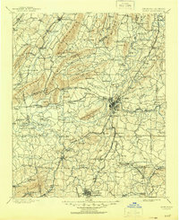
Editions of this 1904 Rome Map
4 editions found

Other maps of this area

1886 · Dalton
USGS Topo · 1:125,000

1886 · Ringgold
USGS Topo · 1:125,000

1886 · Rome
USGS Topo · 1:125,000

1886 · Stevenson
USGS Topo · 1:125,000

1889 · Tallapoosa
USGS Topo · 1:125,000

1890 · Cartersville
USGS Topo · 1:125,000

1891 · Marietta
USGS Topo · 1:125,000

1891 · Cartersville
USGS Topo · 1:125,000

1892 · Ringgold
USGS Topo · 1:125,000

1892 · Dalton
USGS Topo · 1:125,000